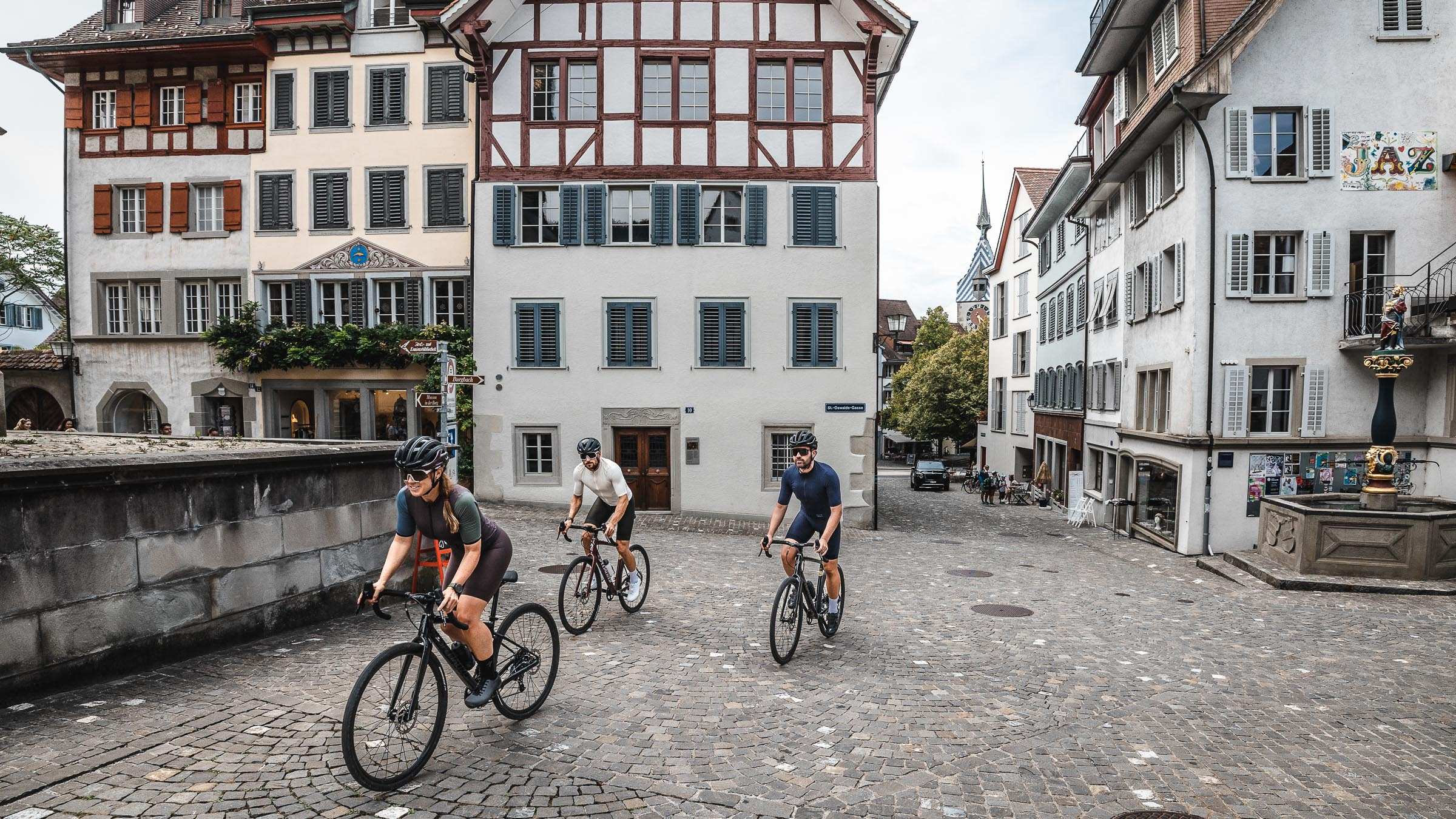
01. Zugerberg - Nollen - Hollgrotten - Baar
- 38.1km
- 766m
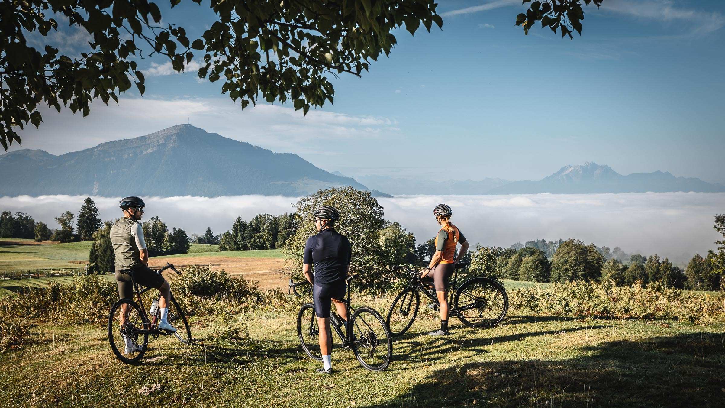
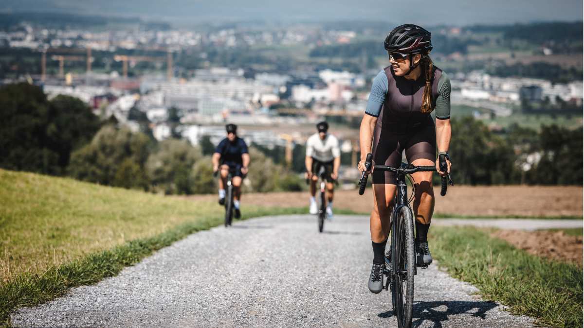
This circular route requires grit and stamina. There are a few challenging climbs that will test the best riders, but the rewards are massive, with stunning views and long looping descents. Starting from Zug, riding through the Zugerberg into the Aegeri Valley and following the Sihl down before arriving at the Zugersee. Riding on a mix of forest roads, asphalt, and singletracks offers many incredible viewpoints along the way.
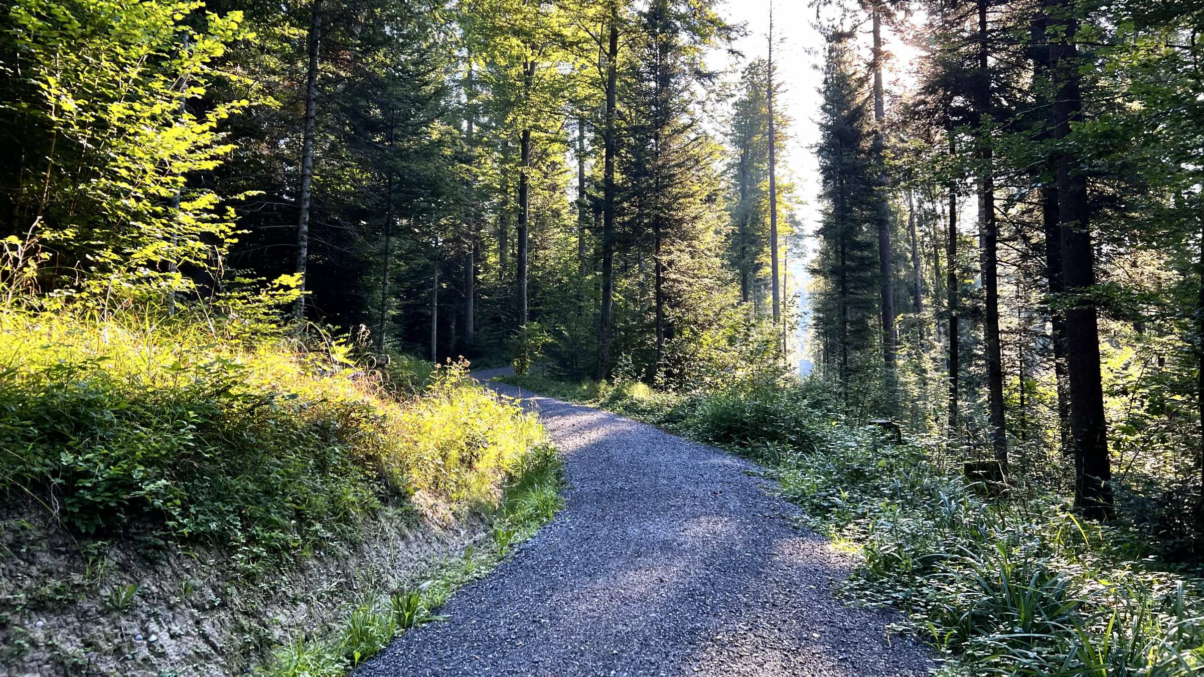
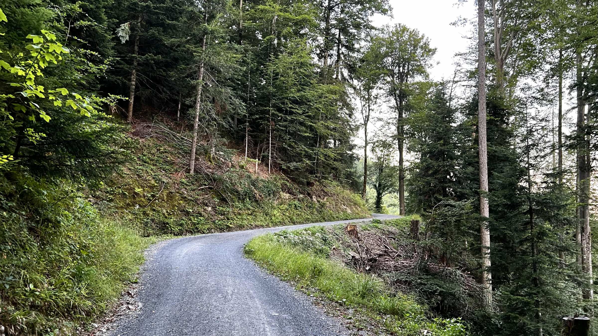
The first part of the route winds up on asphalt roads within the city of Zug until reaching Schonegg. Passing the funicular station at Schonegg, the road changes to smooth gravel within the forest. This part offers astonishing views of Zugersee, Pilatus and the Vierwaldstattersee.
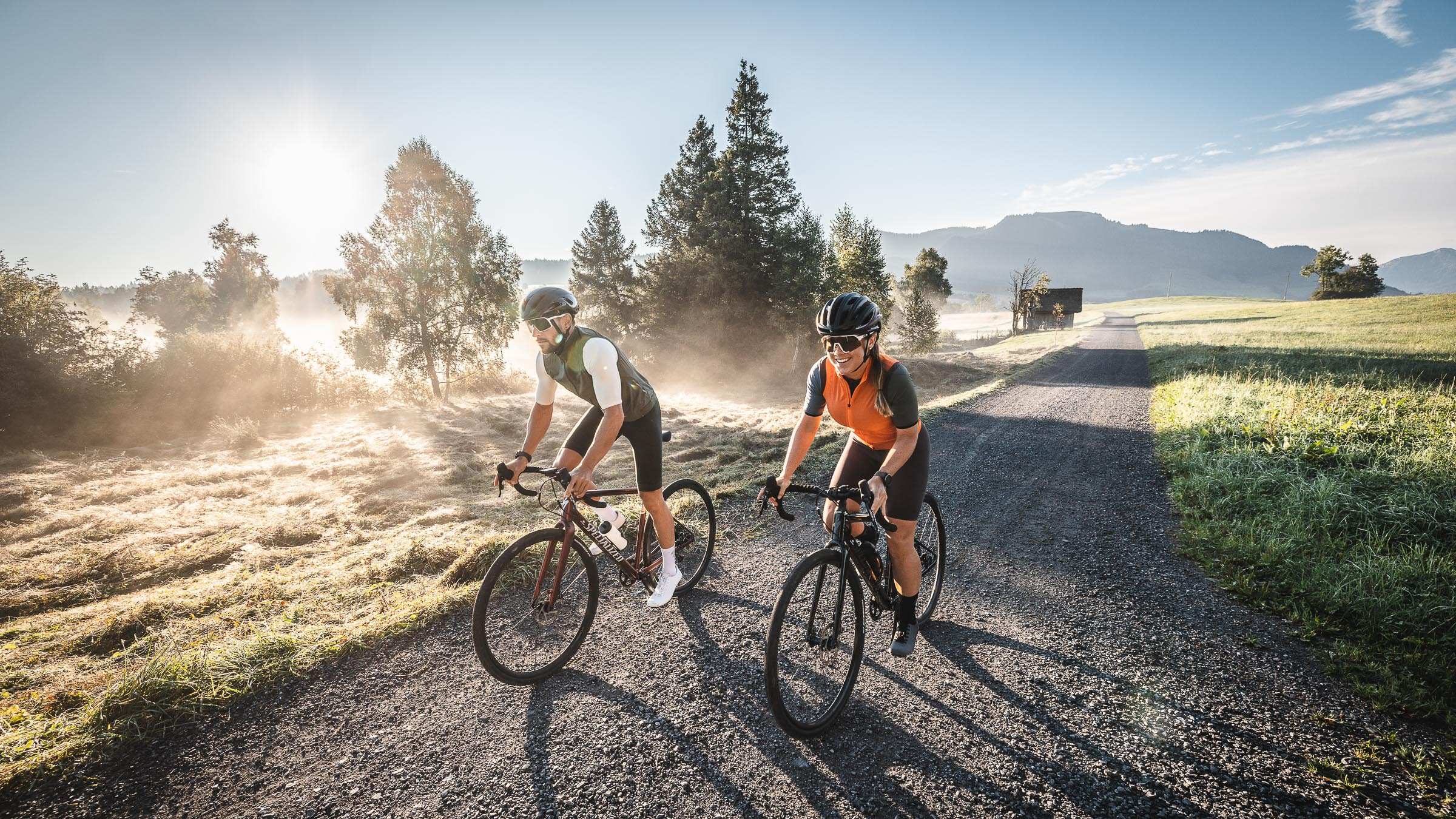
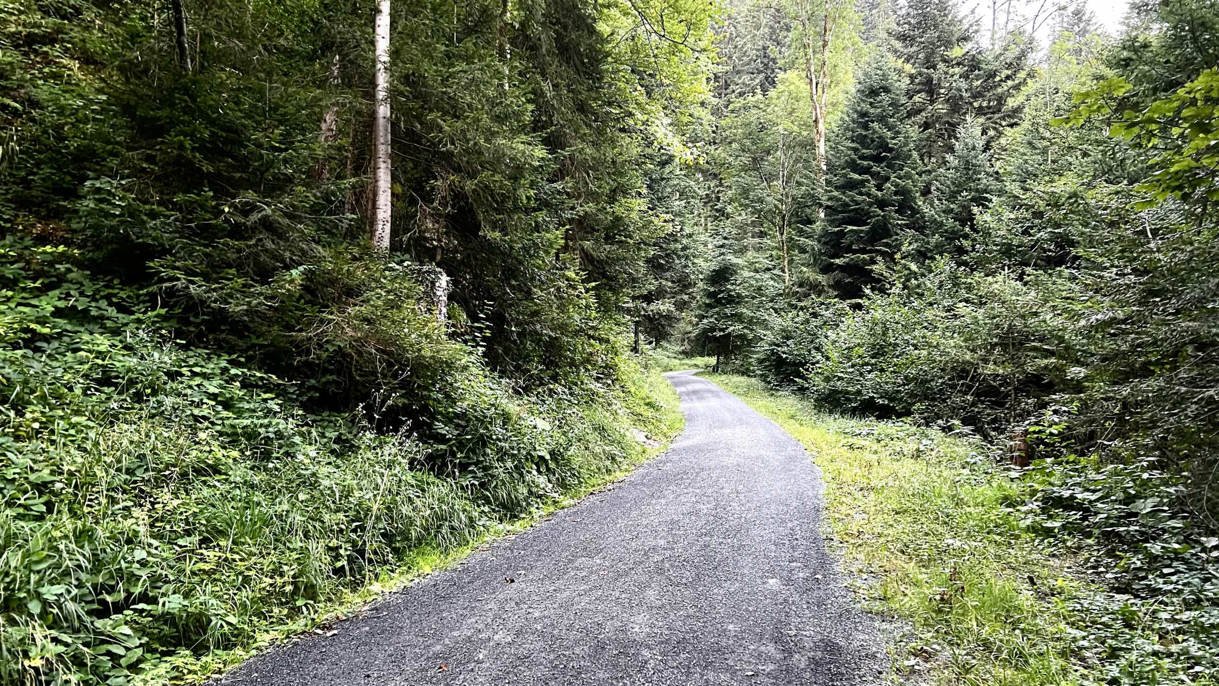
There are several small climbs and ascents for a couple of kilometres riding on the side of Zugerberg. The next part is a highly technical part following the hiking path, including some climbing stairs on a steep hillside.
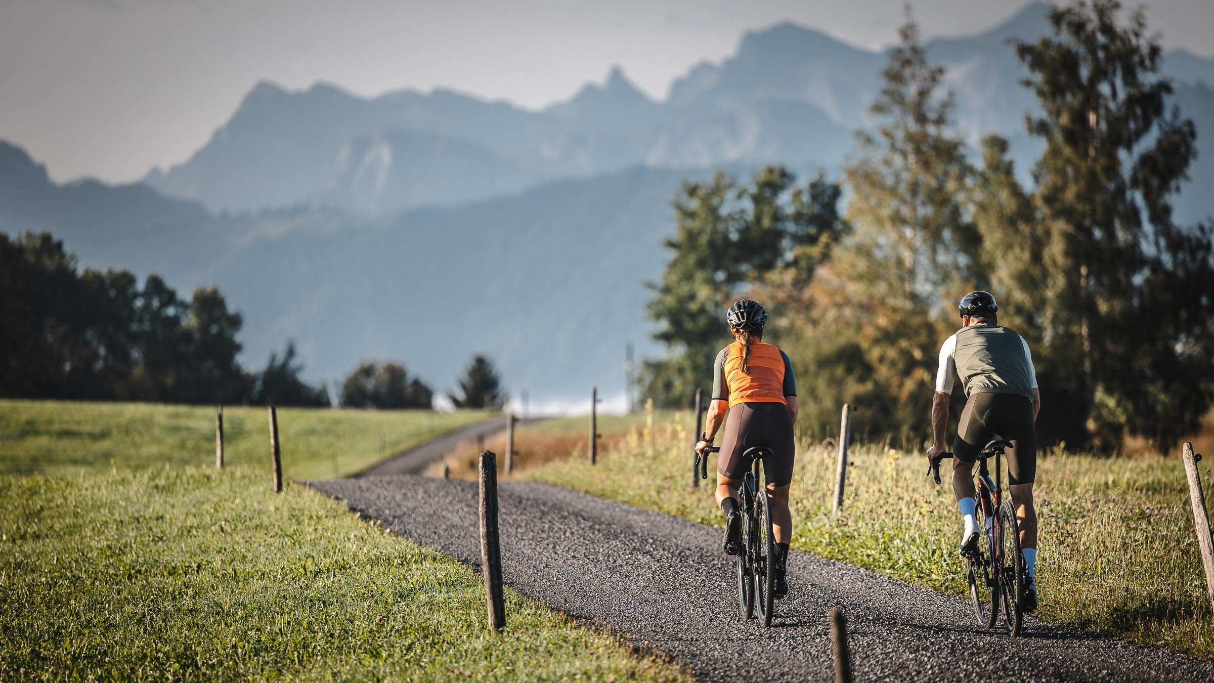
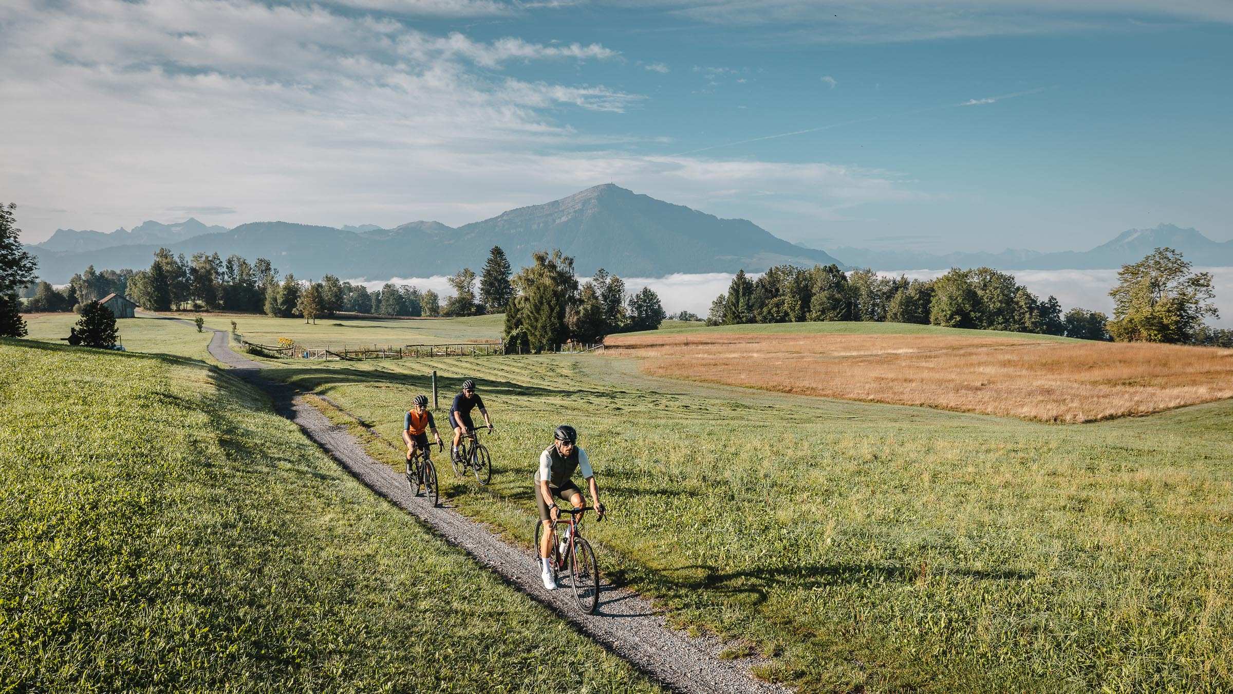
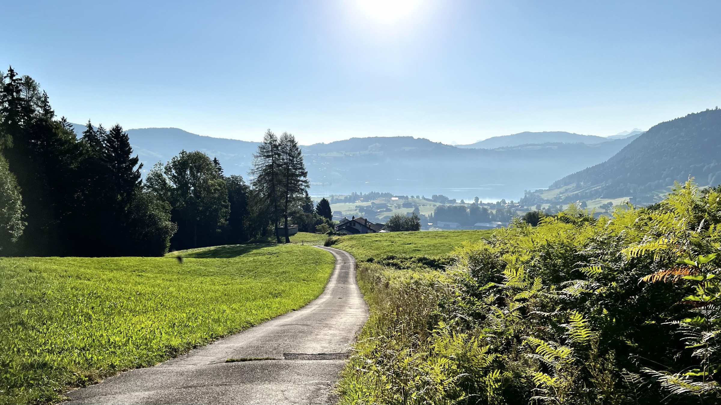
You are reaching the plateau on Zugerberg on asphalt, following a short technical climb towards Eigenread. It is great rolling terrain on gravel roads to Fruebuel. Please beware of the animals in this section; keep your distance. The route leads towards Aegeri, on mixed roads passing the Buschenkappelli, reaching the highest point at 1038meters, just at the top of the Nolen ski lift. Once you have made it up here, it is only downhill. Now the view opens up to the Aegeri valley. The route heads down into the valley towards Baar.
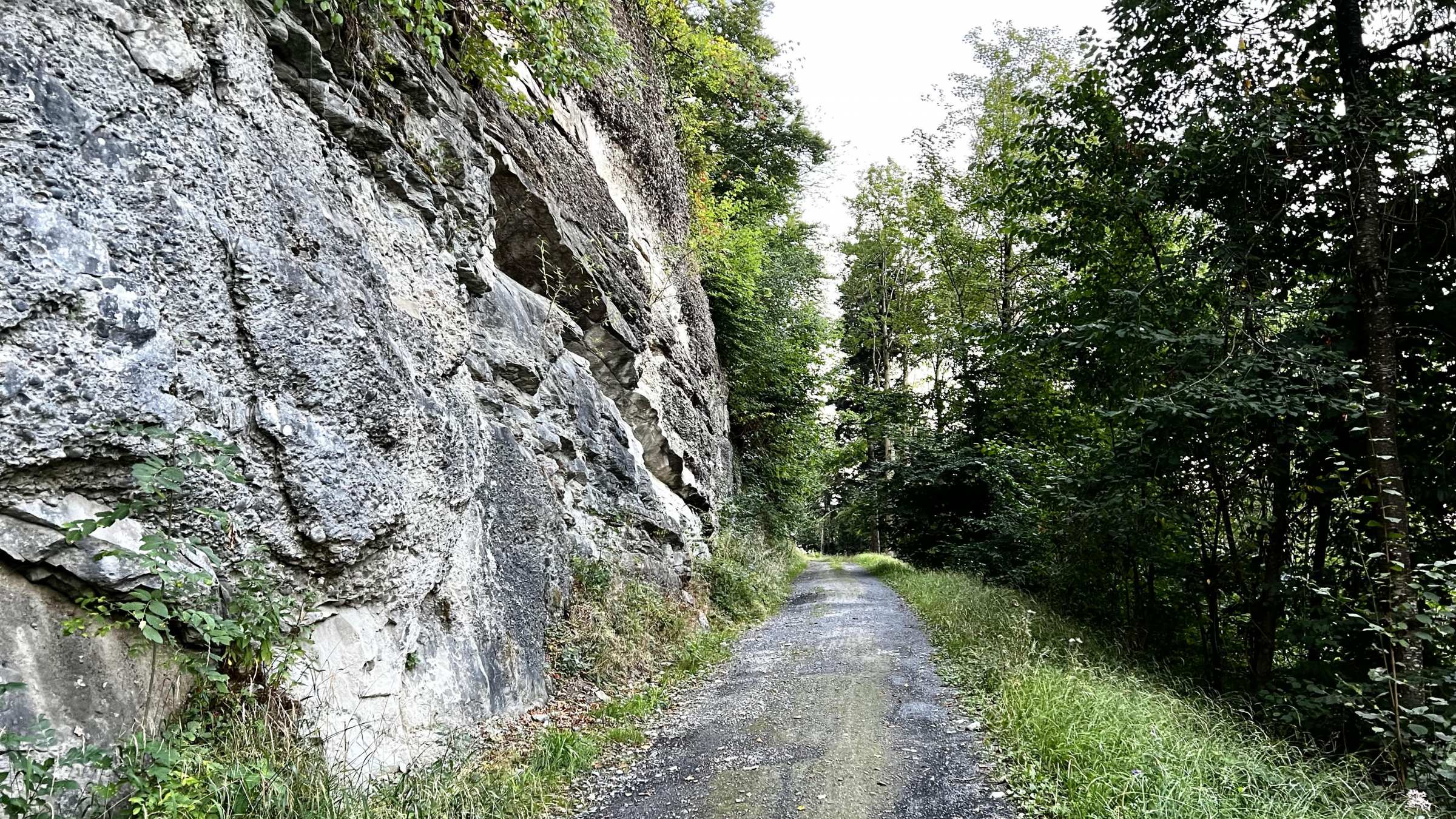
There is currently roadwork going on until summer 2023; therefore, the route is diverted towards Allenwinden with a temporary bridge to cross the Sihl. From here onwards, the route follows the Sihl all the way down to the Zugersee, crossing the Suhl two times at the for and back by the power plant at Lorzentolbel and passing under the impressive Lorzentobel bridge.
Shortly we pass the Hollgrotten caves and carry on our way on asphalt following the Sihl. The route changes for and back in gravel and asphalt, following the cycling path and finally reaching the Zugersee.
| Distance | 38.1 km |
| Ascent | 766 m |
| Descent | 766 m |
| Max. Altitude | 1041 m |
| Terrain | Gravel |
| Difficulty | Hard |
| Type | Loop |
| Category | Accessible |
This route starts and finish in Zug, you can find many places along the route to start within the city.
View on Google MapsThere is currently roadwork going on until summer 2023; therefore, the route is diverted towards Allenwinden with a temporary bridge to cross the Sihl.