02. Cham - Rifferswil - Affoltern am A. - Baar
- 49km
- 541m
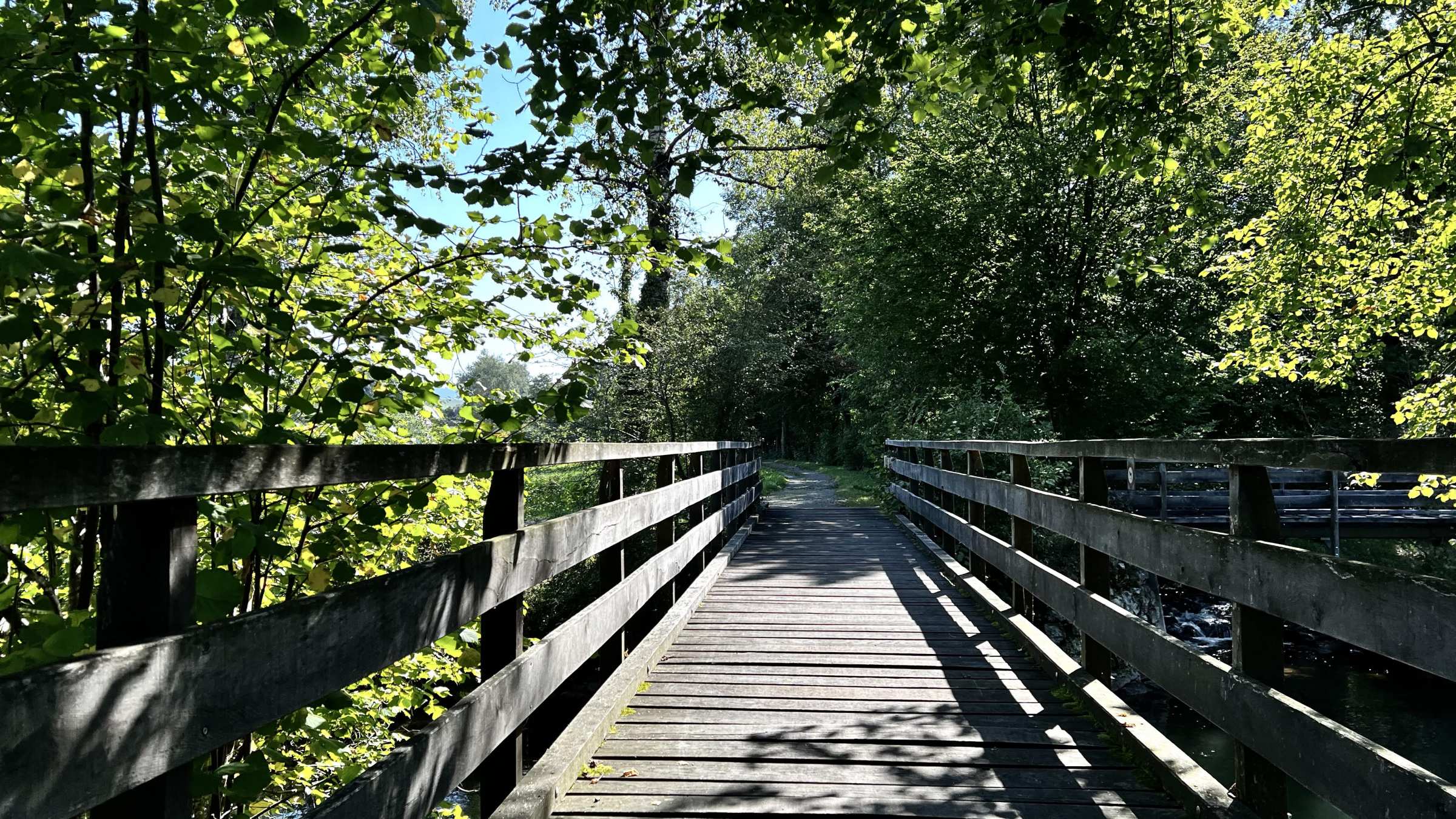
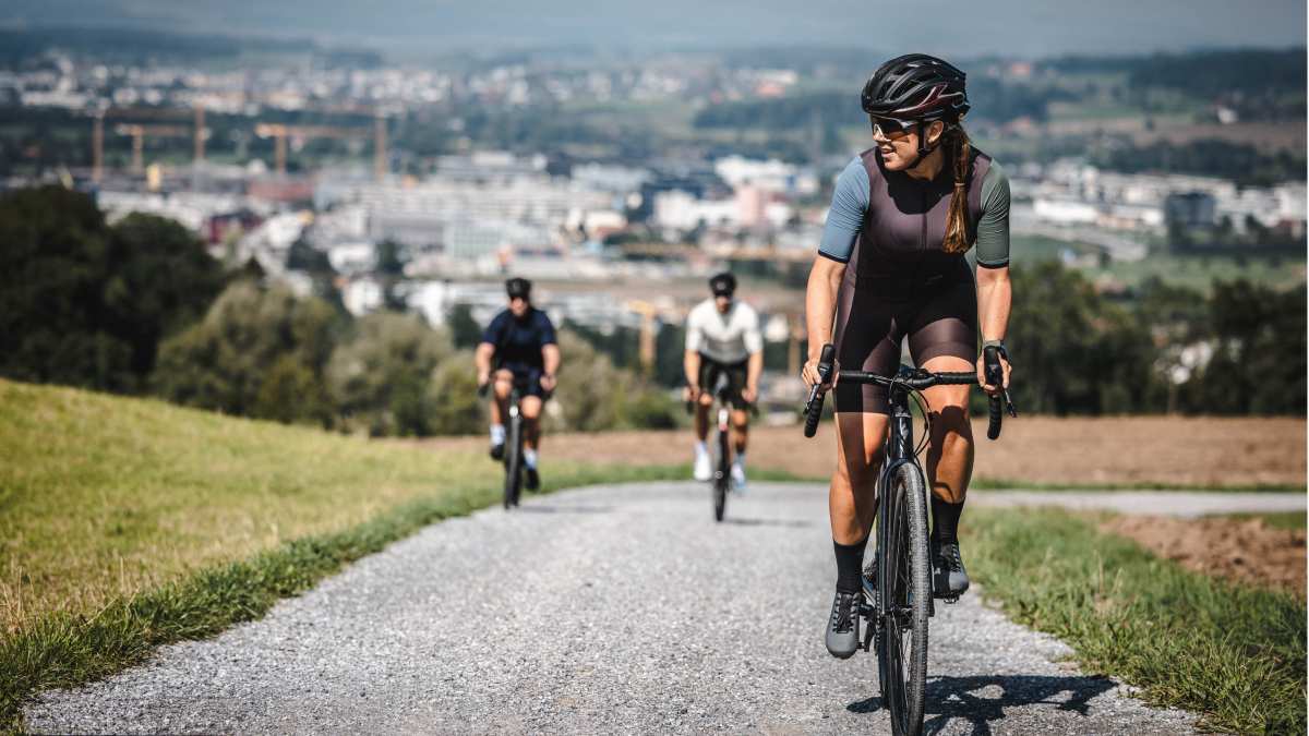
This route shows just how remarkably close lovely landscapes are to the city. It promises an exciting journey of discovery, riding through many different landscapes and crossing waterways. We start zigzagging through farm roads on mixed surfaces, leaving Cham. Riding along and Crossing the Lorze for the first time before entering Rumentikon, where we face the first climb of the route. After the climb, we ride on fast gravel roads among the farms.
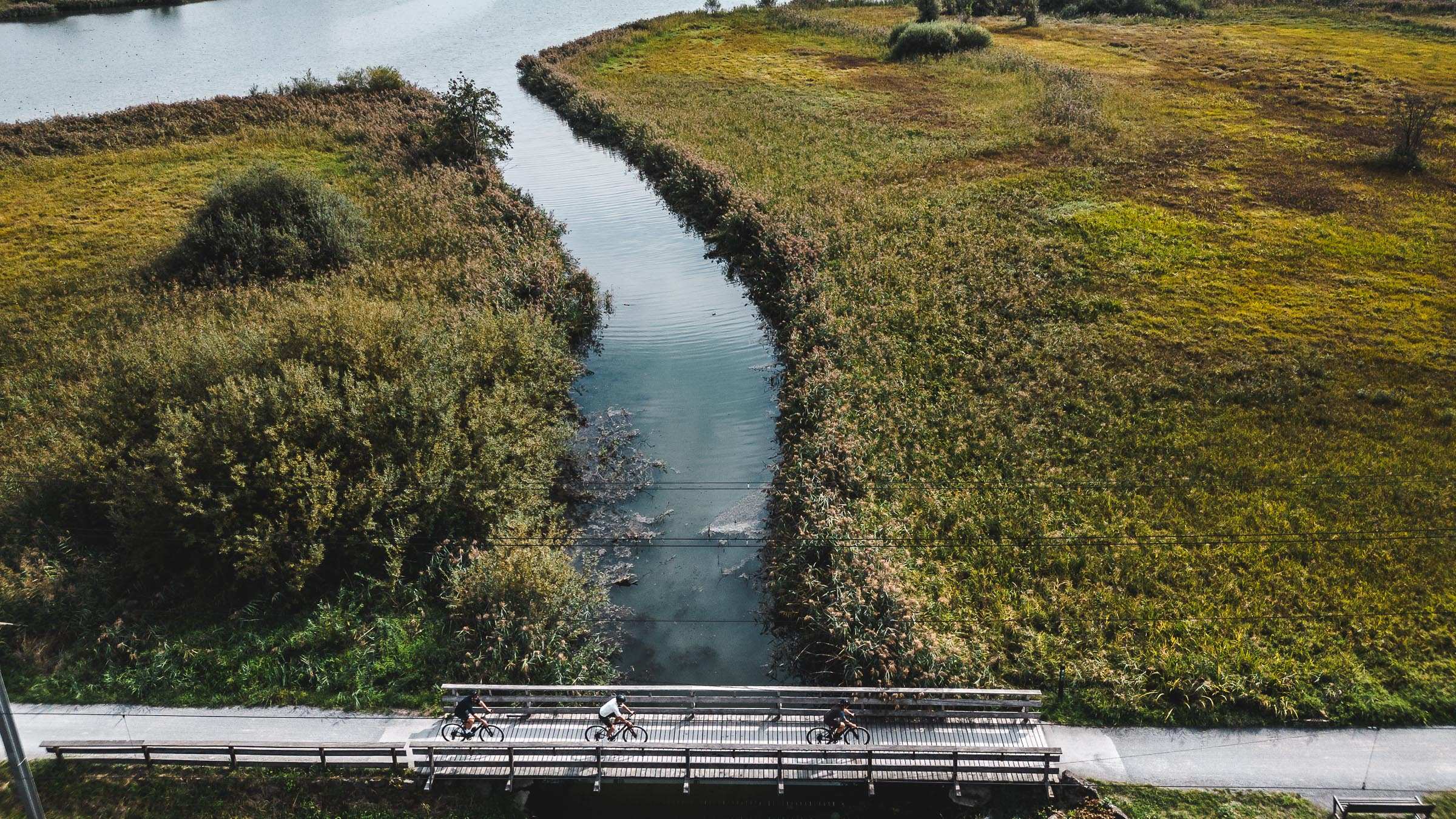
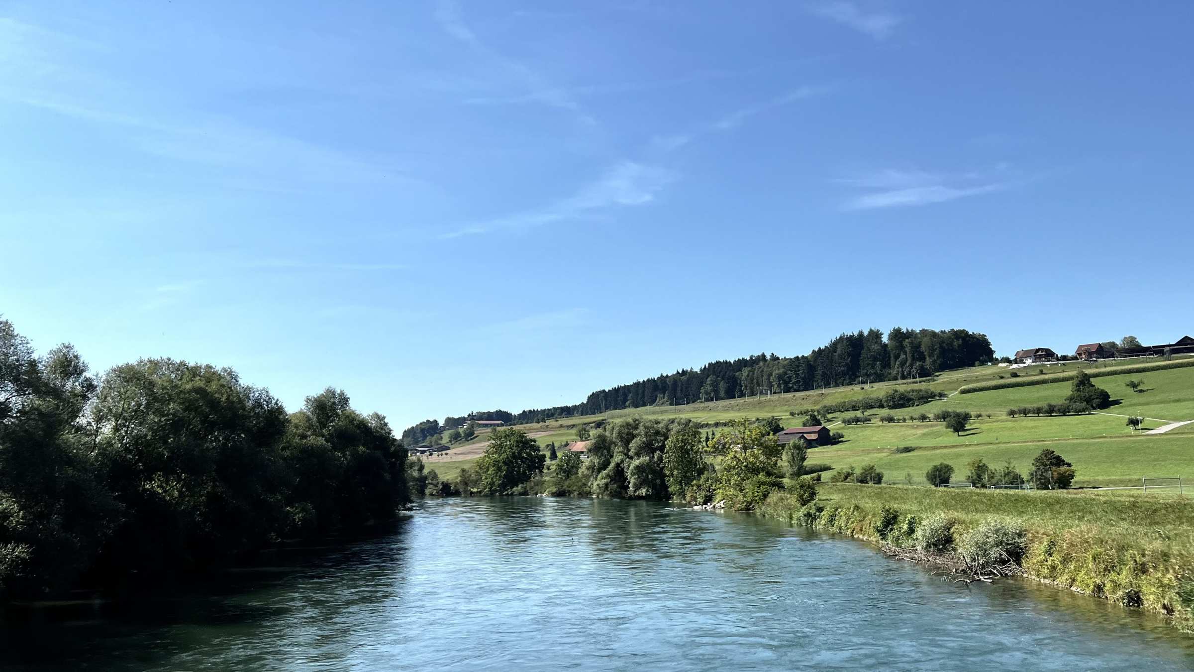
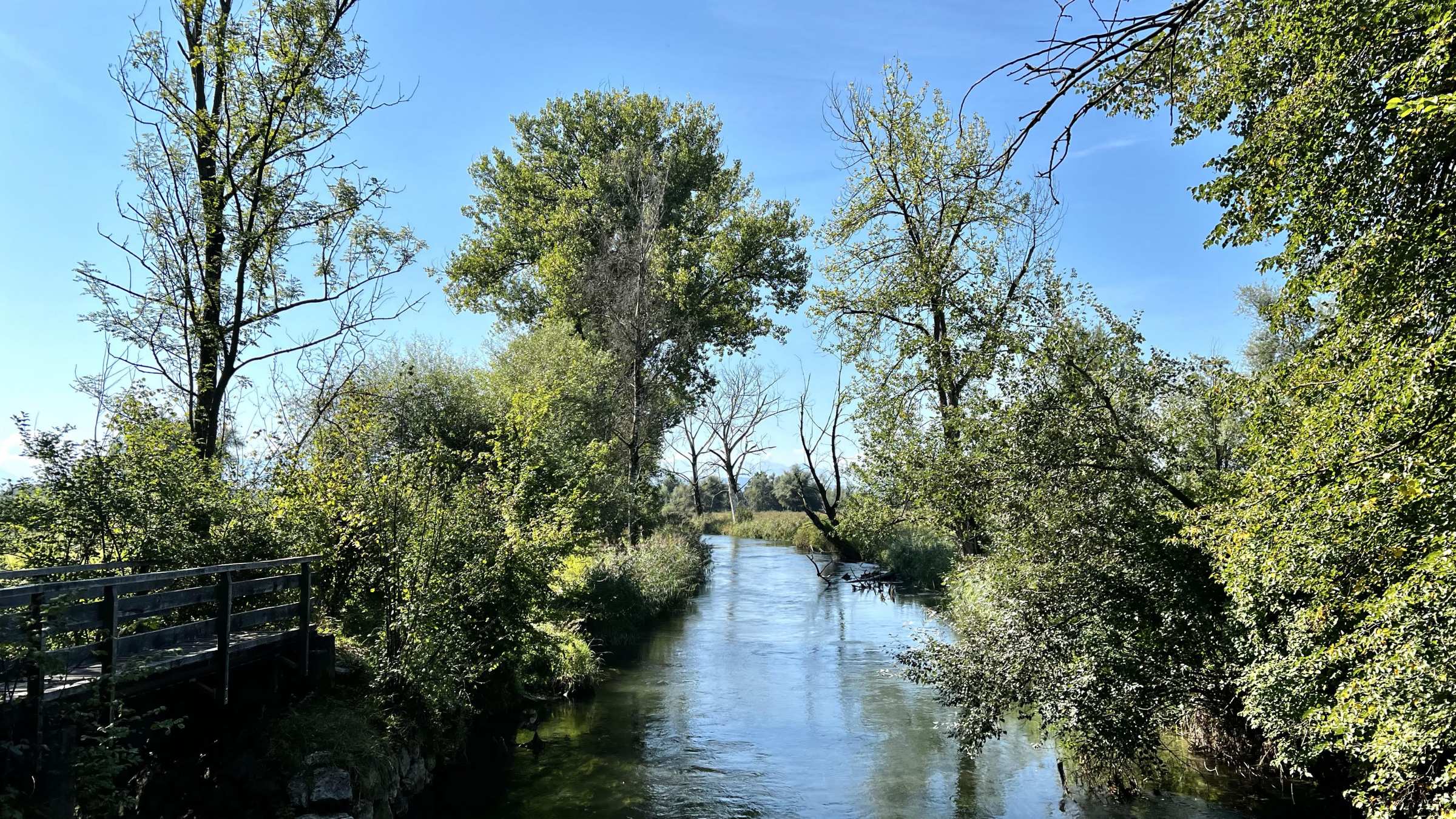
Crossing the Lorze again before entering Reussspitz. The Lorze flows into the Reuss here, and it is a little paradise for people looking for peace and who love nature. Reussspitz is one of the most extensive moorland landscapes of the Central Plateau. We ride alongside the Reuss river before crossing it on the main road and entering Mühlau.
We make a steep but short climb under the railway before entering the forest and riding alongside the ridge. This elevation provides excellent views across the landscape.
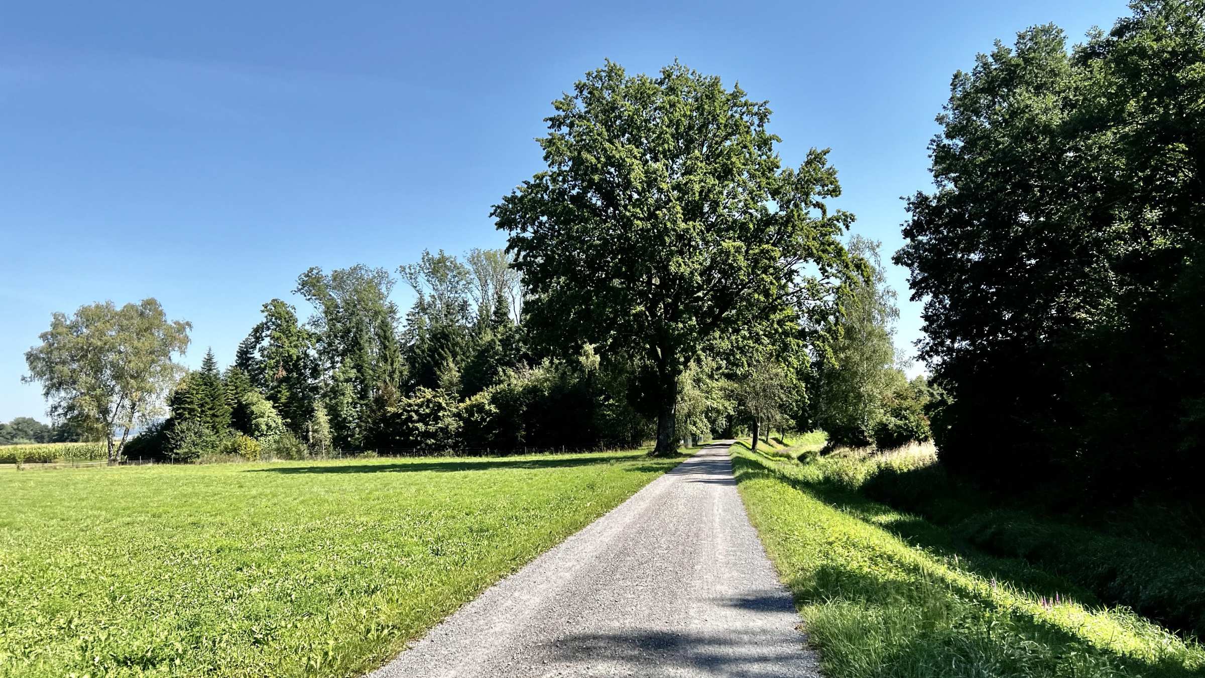
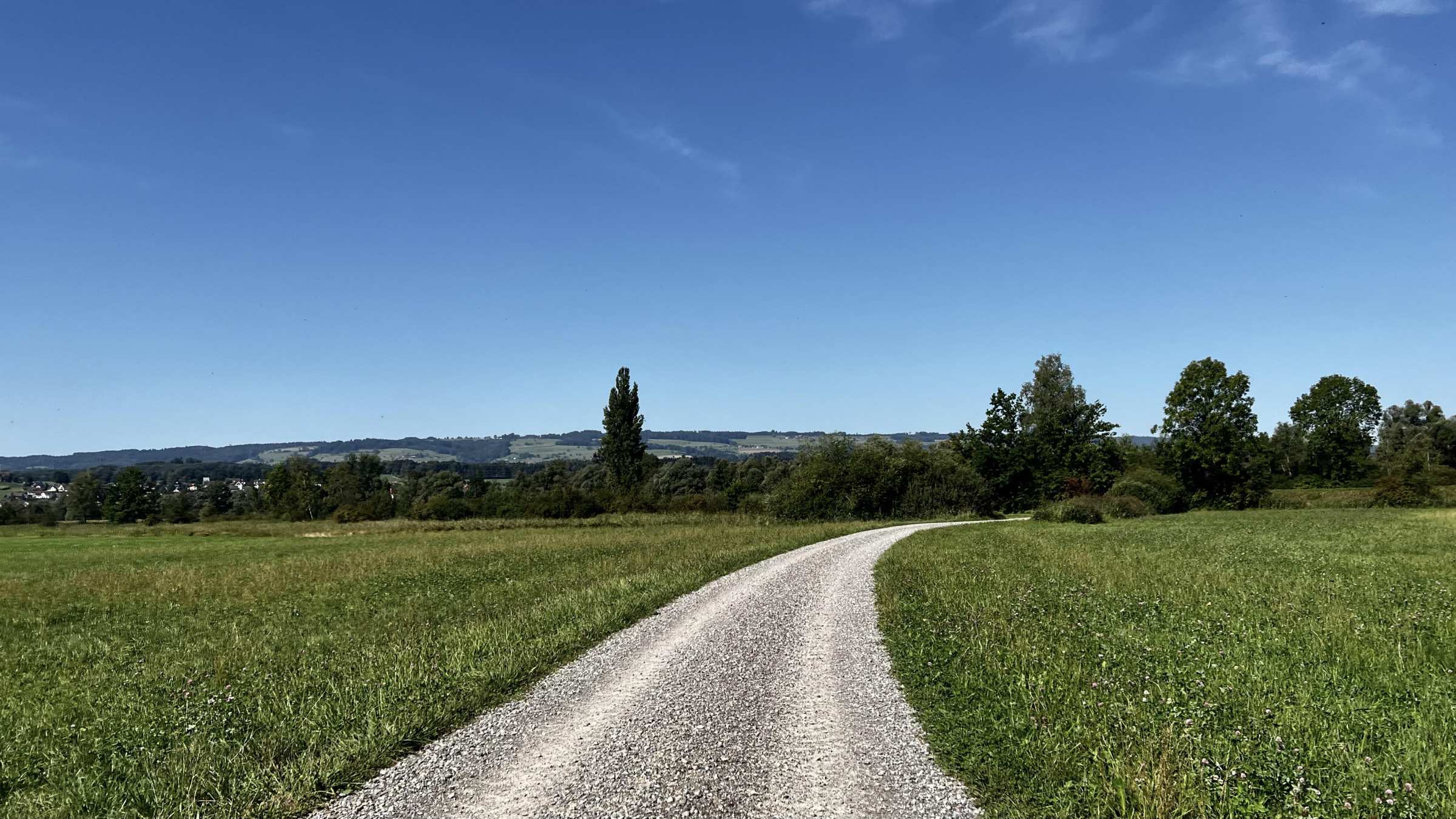
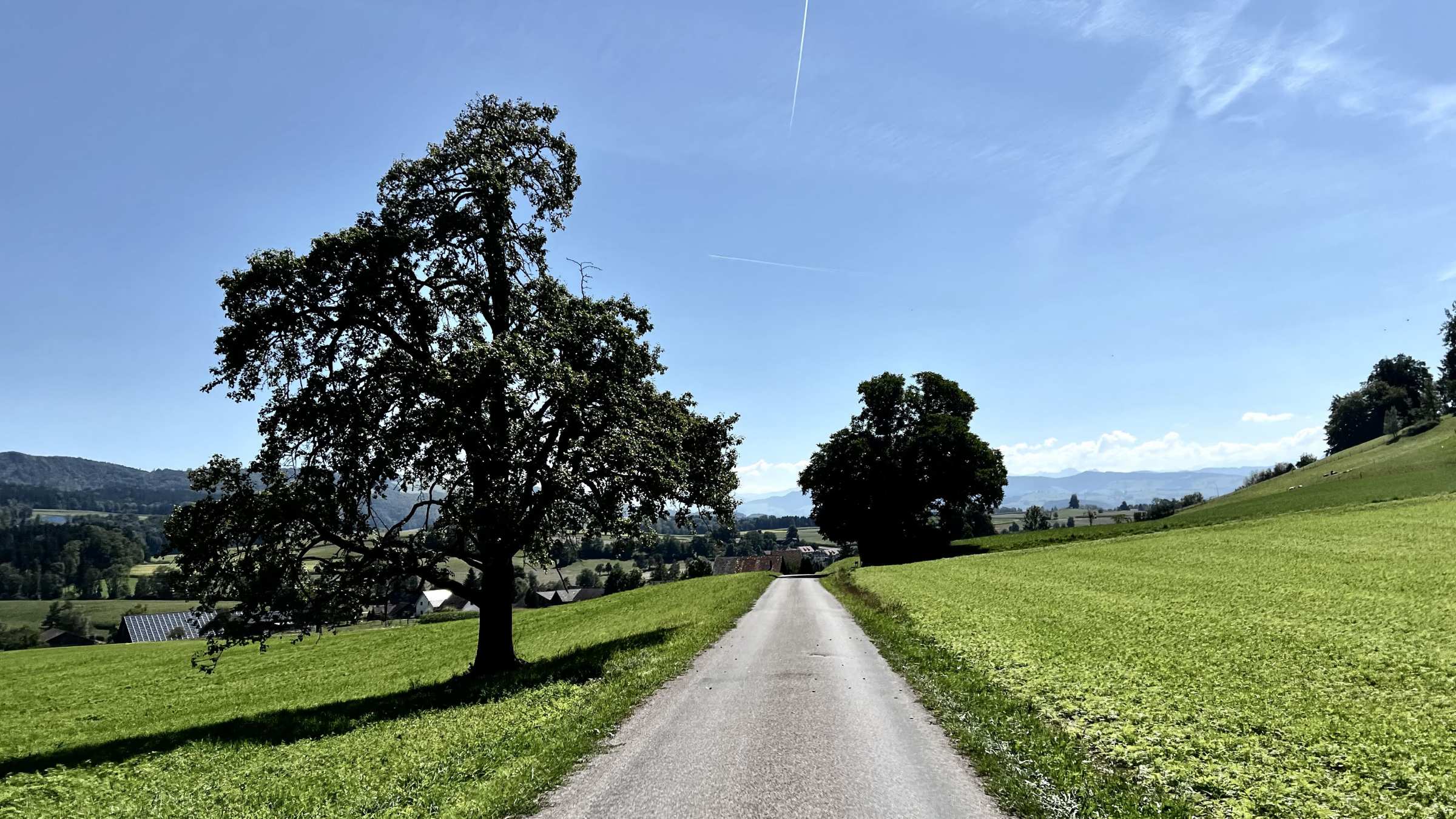
Whiz down the valley to and ride across the flatland on fast gravel roads through Mereschwandenand, Ottenbach and Affoltern am Albis.
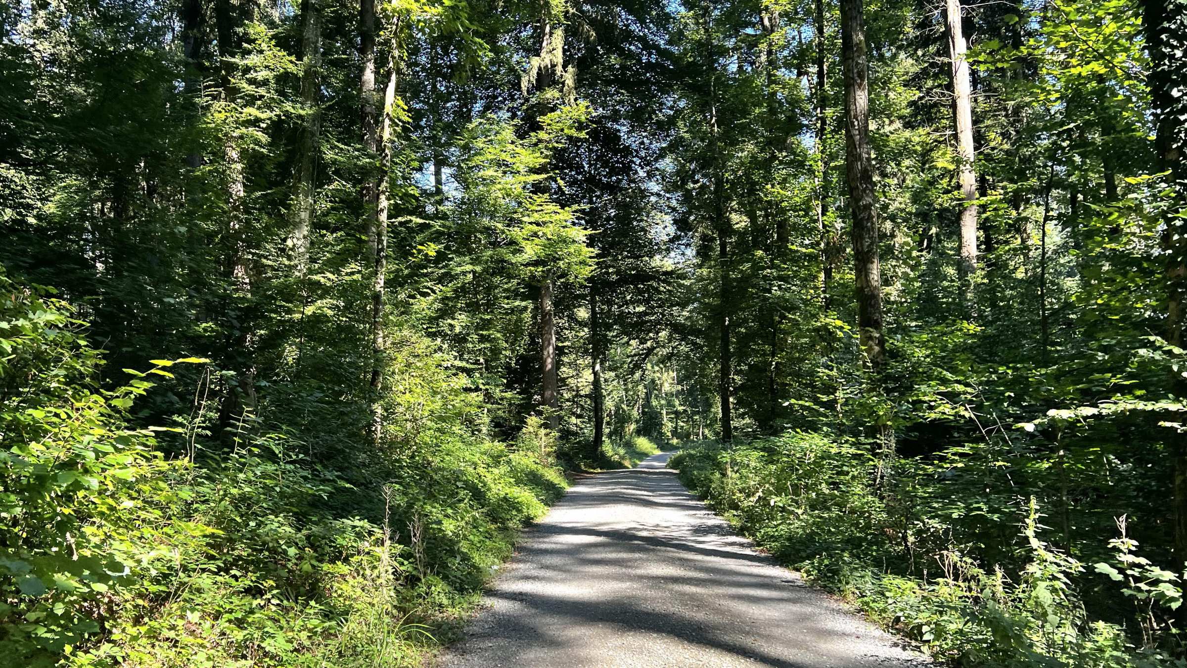
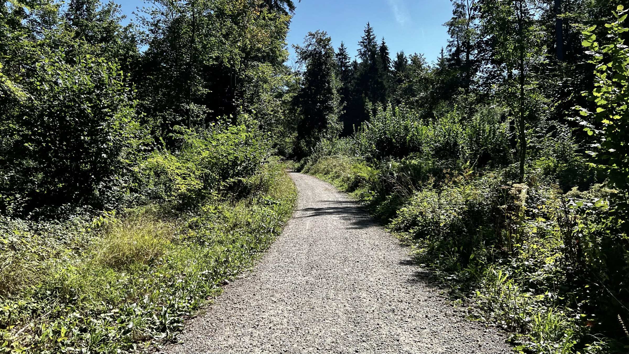
Finally, entering the forest again on a narrow and technical trail. This part of the route takes us inside the Albis chain. Offers spectacular panoramic views of the Alps and the flat part of Central Switzerland.
We reach the highest point of the route at Rifferswil. The ride continues on a long descent back to Zugersee. From Kappel am Albis, we follow the National MTB route No. 22 for the next part.
| Distance | 49 km |
| Ascent | 541 m |
| Descent | 541 m |
| Max. Altitude | 601 m |
| Terrain | Gravel |
| Difficulty | Medium |
| Type | Loop |
| Category | Accessible |
The route starts and ends at Hirsgarten in Cham.
View on Google Maps