05. Cham - Abtwil - Horben - Sins
- 34.4km
- 678m
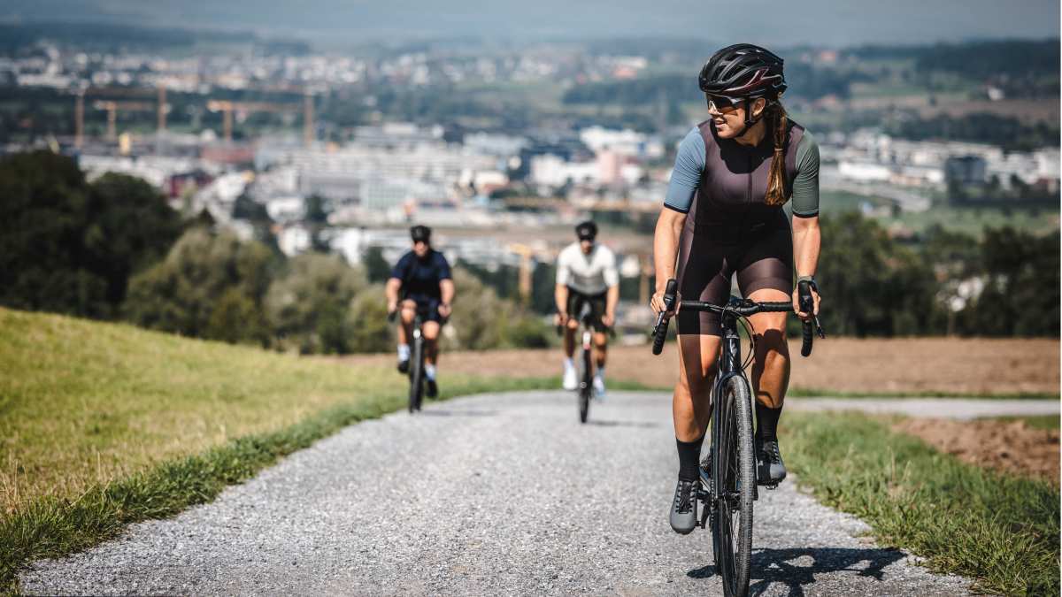
This route takes you from Cham through the Farmlands of Seetal to Lindenberg. Riding along the ridges, from west to east, in a circular course. Lindenberg is well known for mountain biking, and Lindenberg contains many excellent roads suitable for gravel riders. The route starts in Cham from the beautiful Villette Park on the side of the Zugersee.
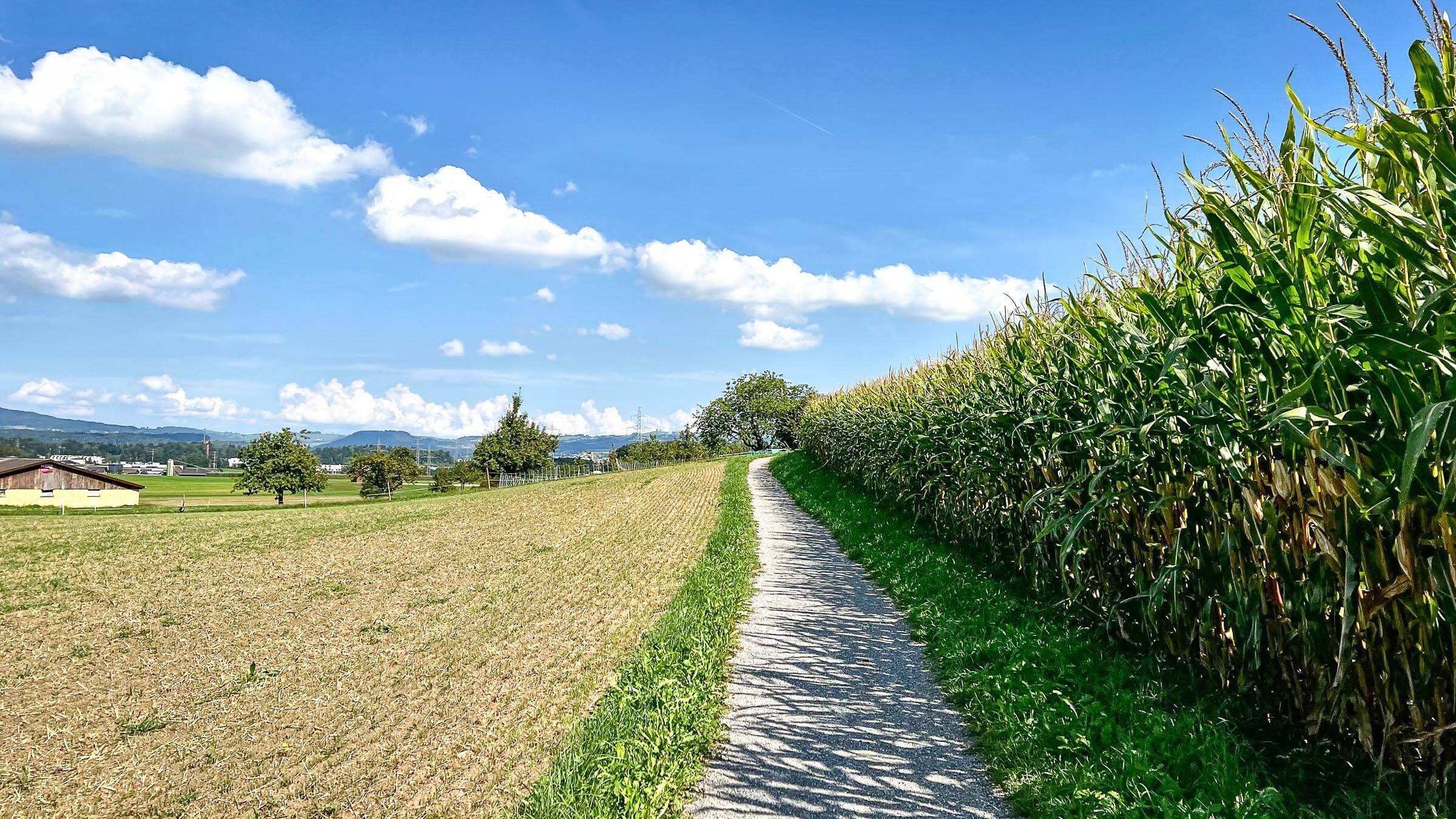
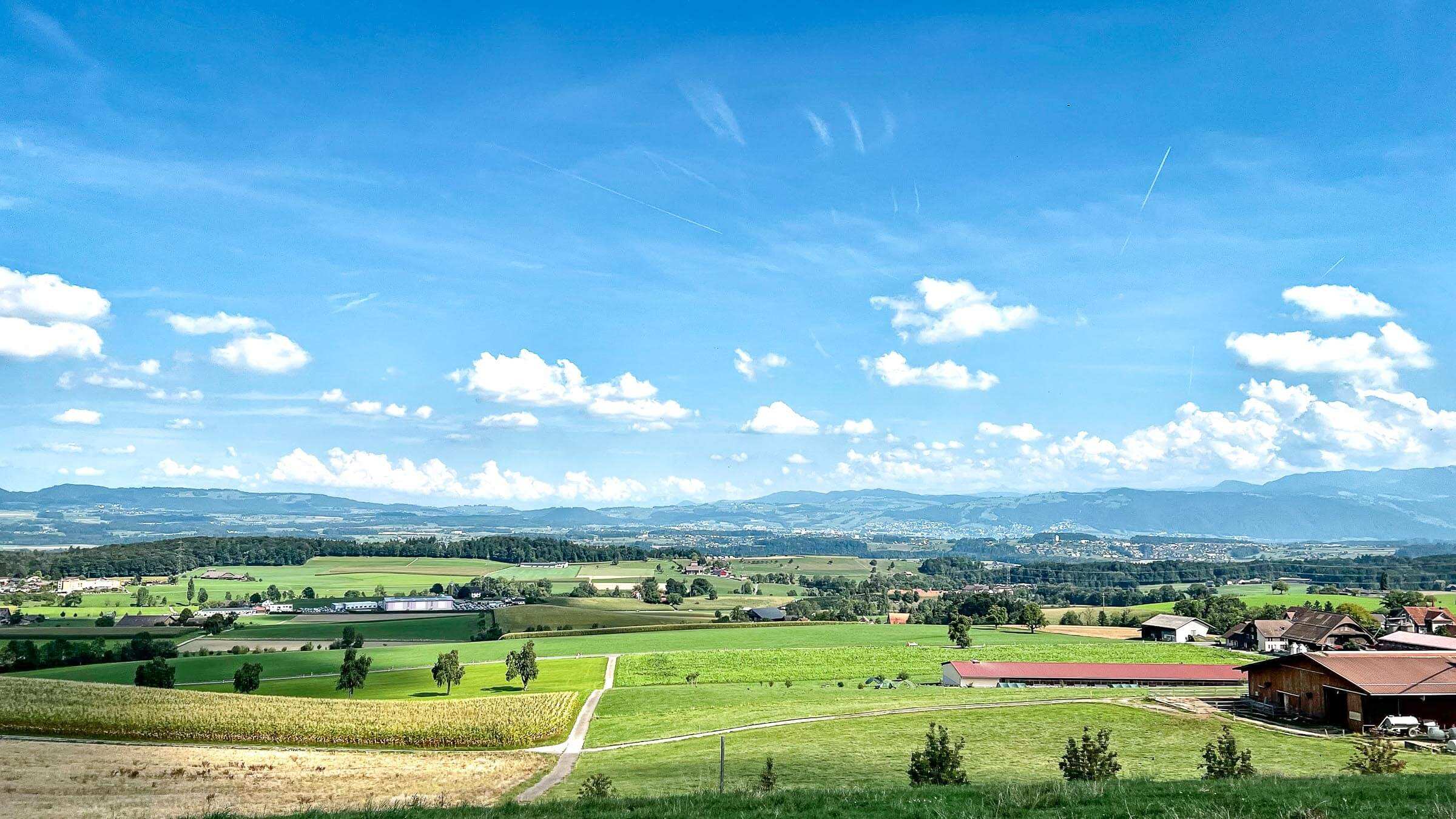
We start to gain elevation in Hunneberg See and can see Cham, Zug City, and Zugerberg in the distance. Zigzagging on varied roads, on the farmlands of Seetal, then riding through Hunenberg, crossing the Reuss river before starting the climb just after Abtwil.
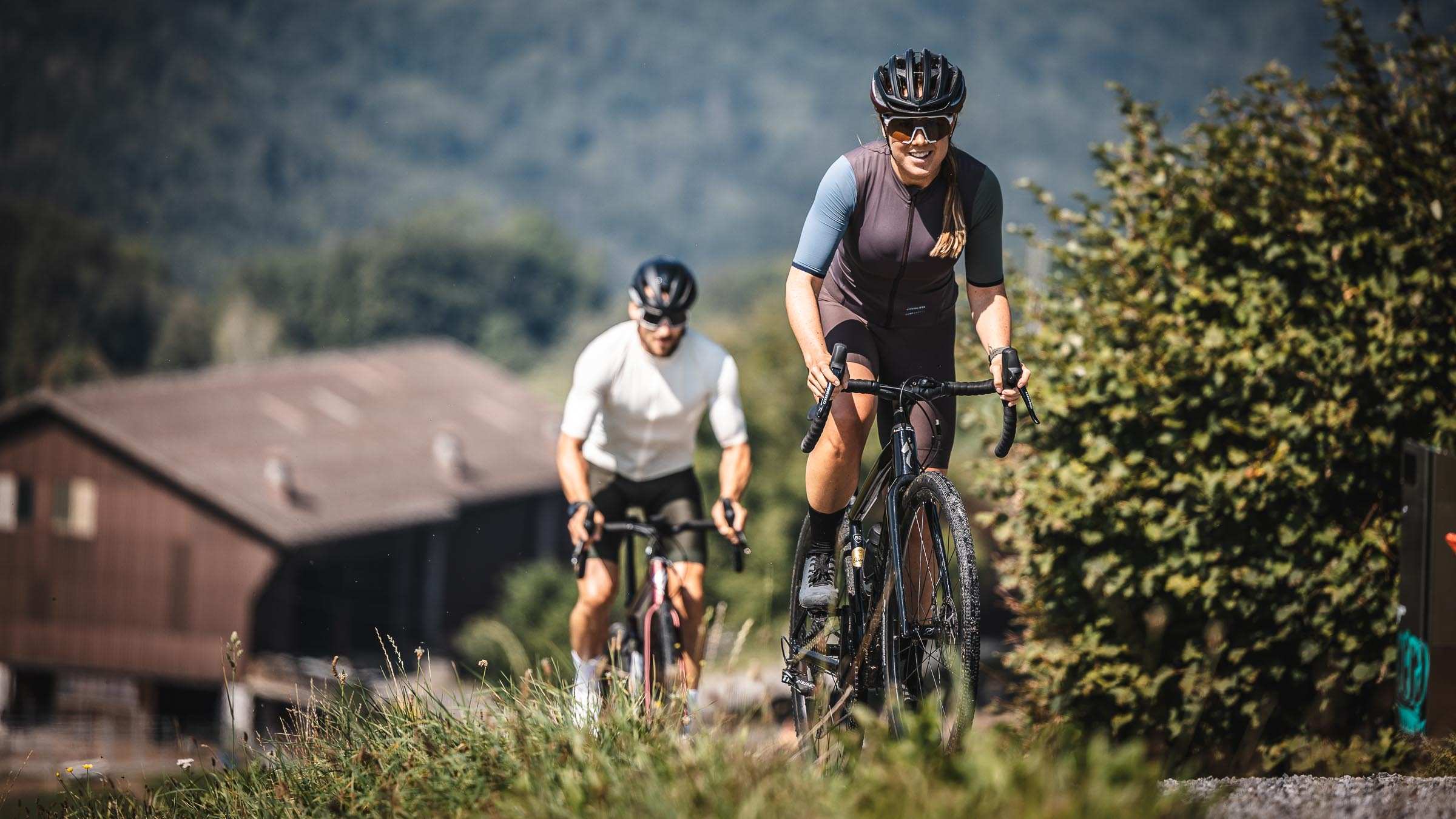
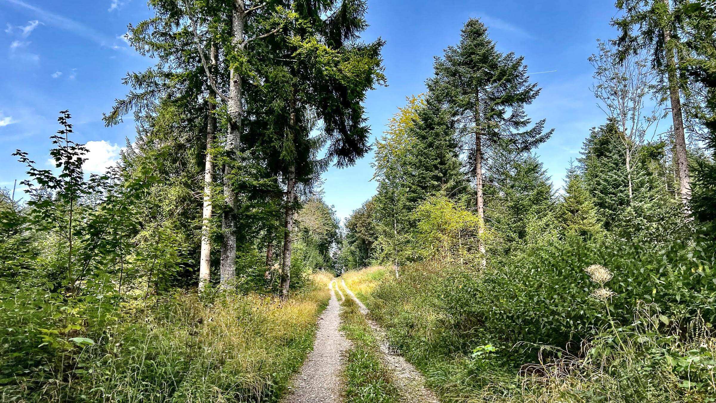
You’ll have fantastic views of the Seetal as you climb up Lindenberg. It is a gentle climb without any steep parts. We reach the highest point of the route at 784m, offering a peak of the other side of Lindenberg with a view of the valley, towards Baldeggersee and the Pilatus in the distance.
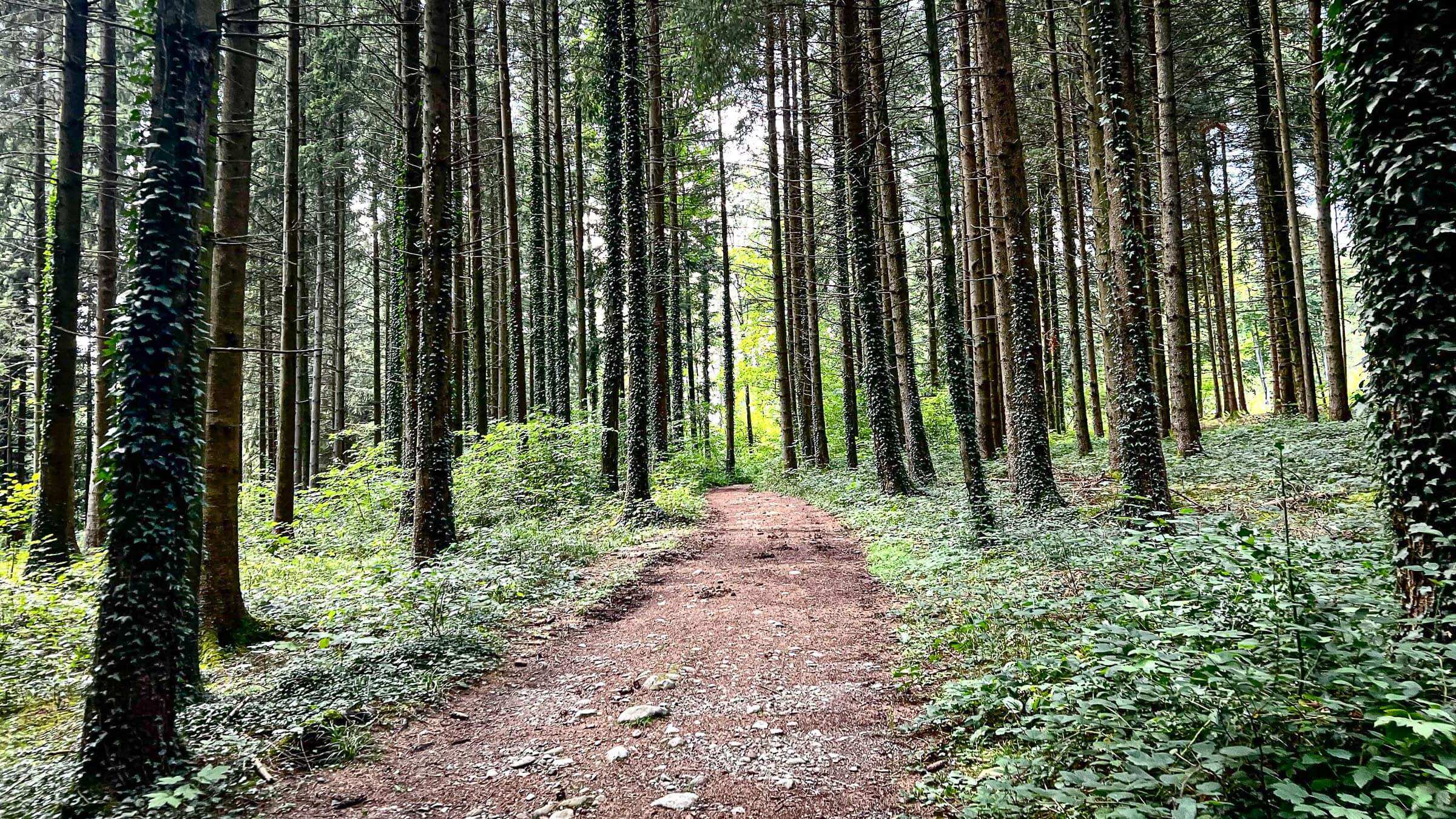
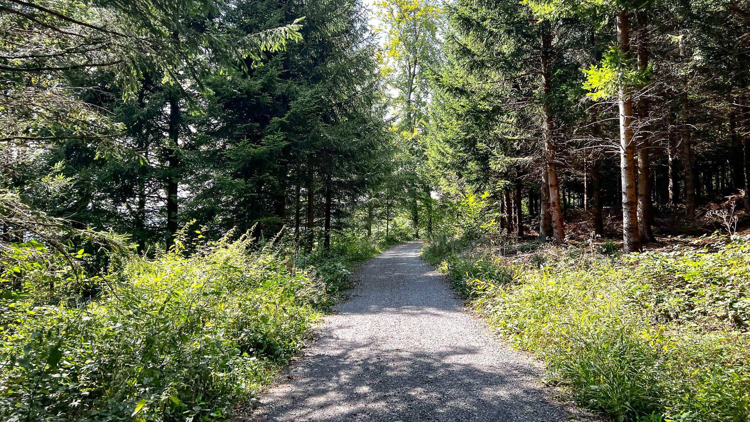
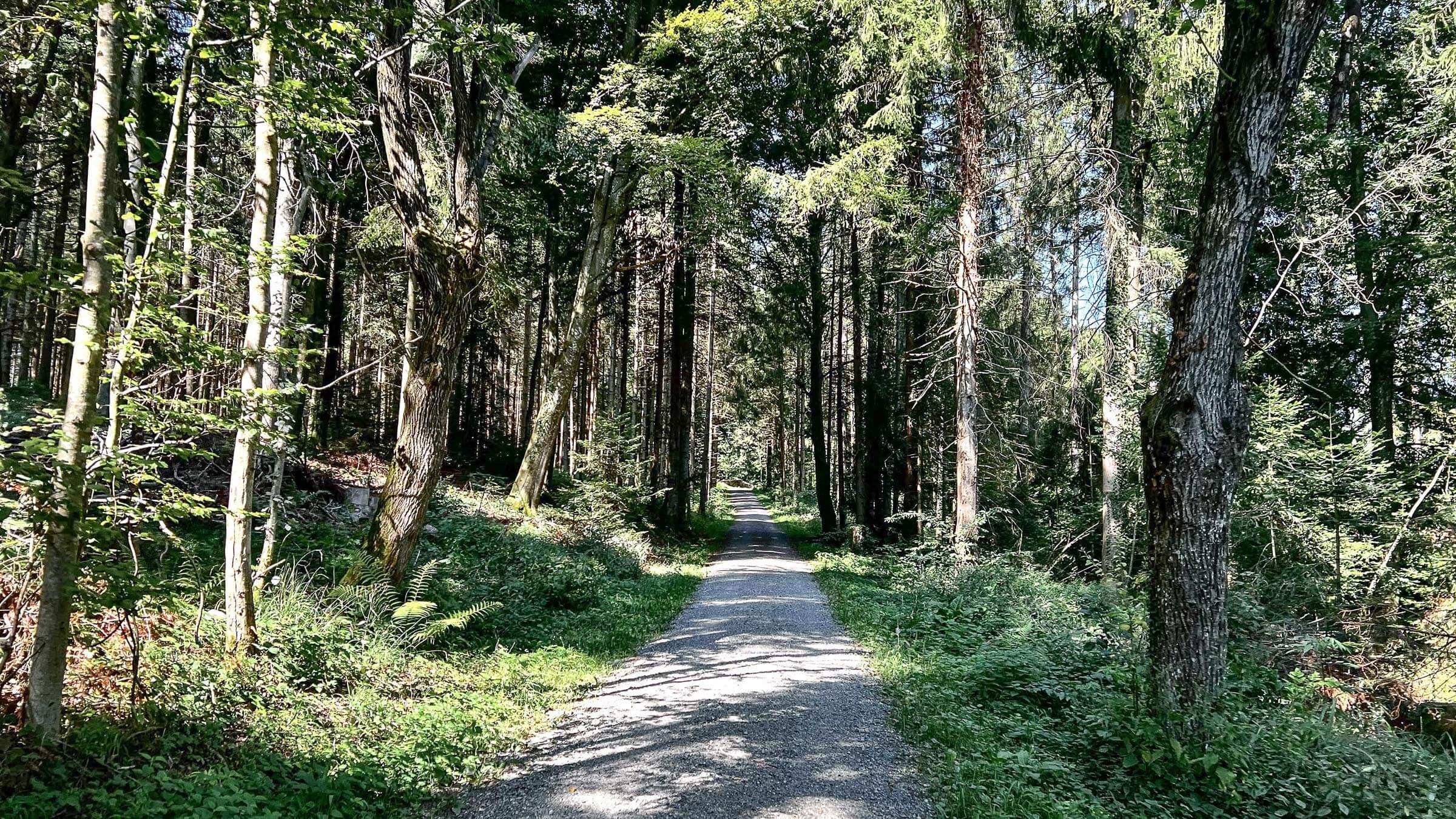
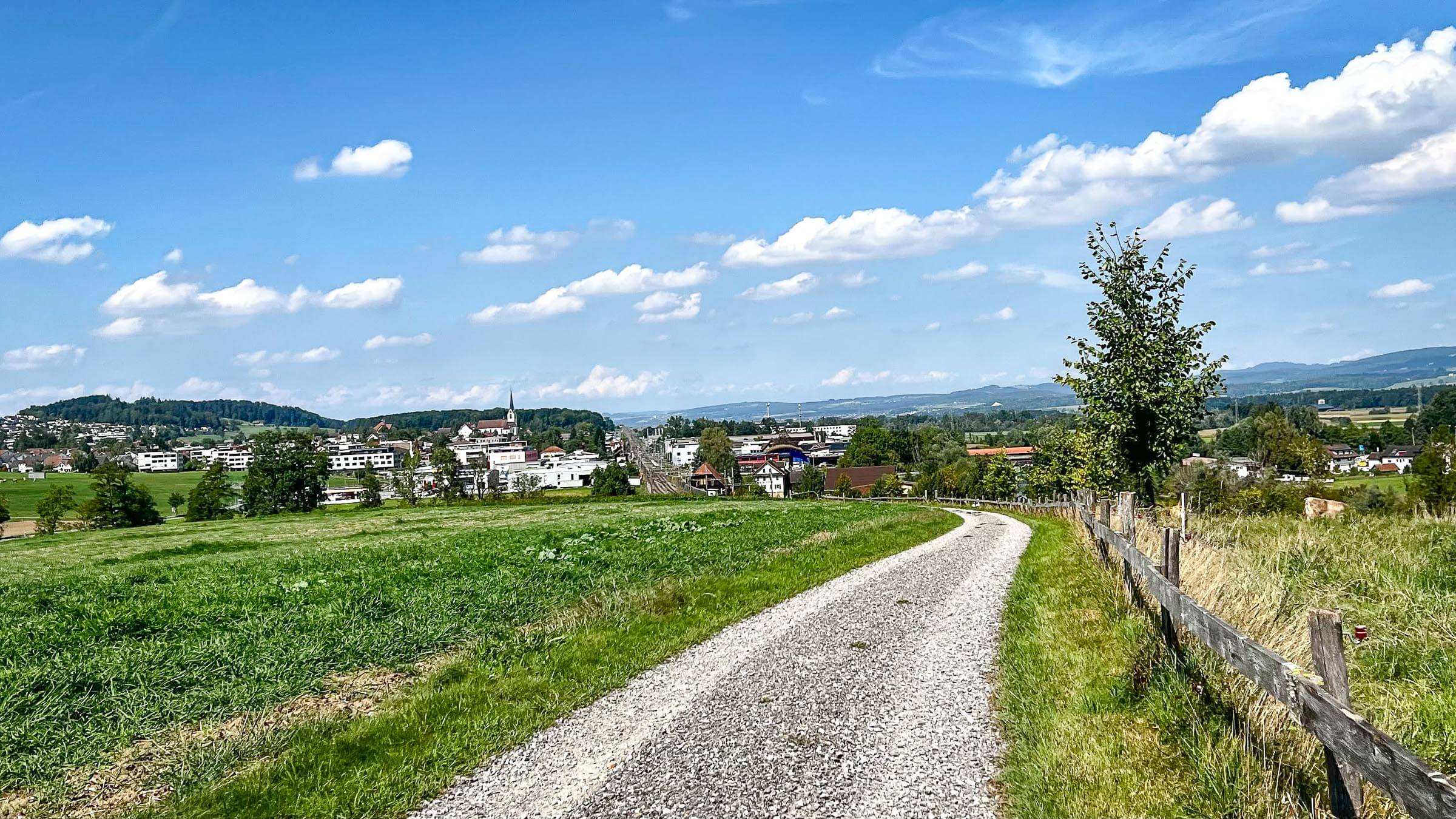
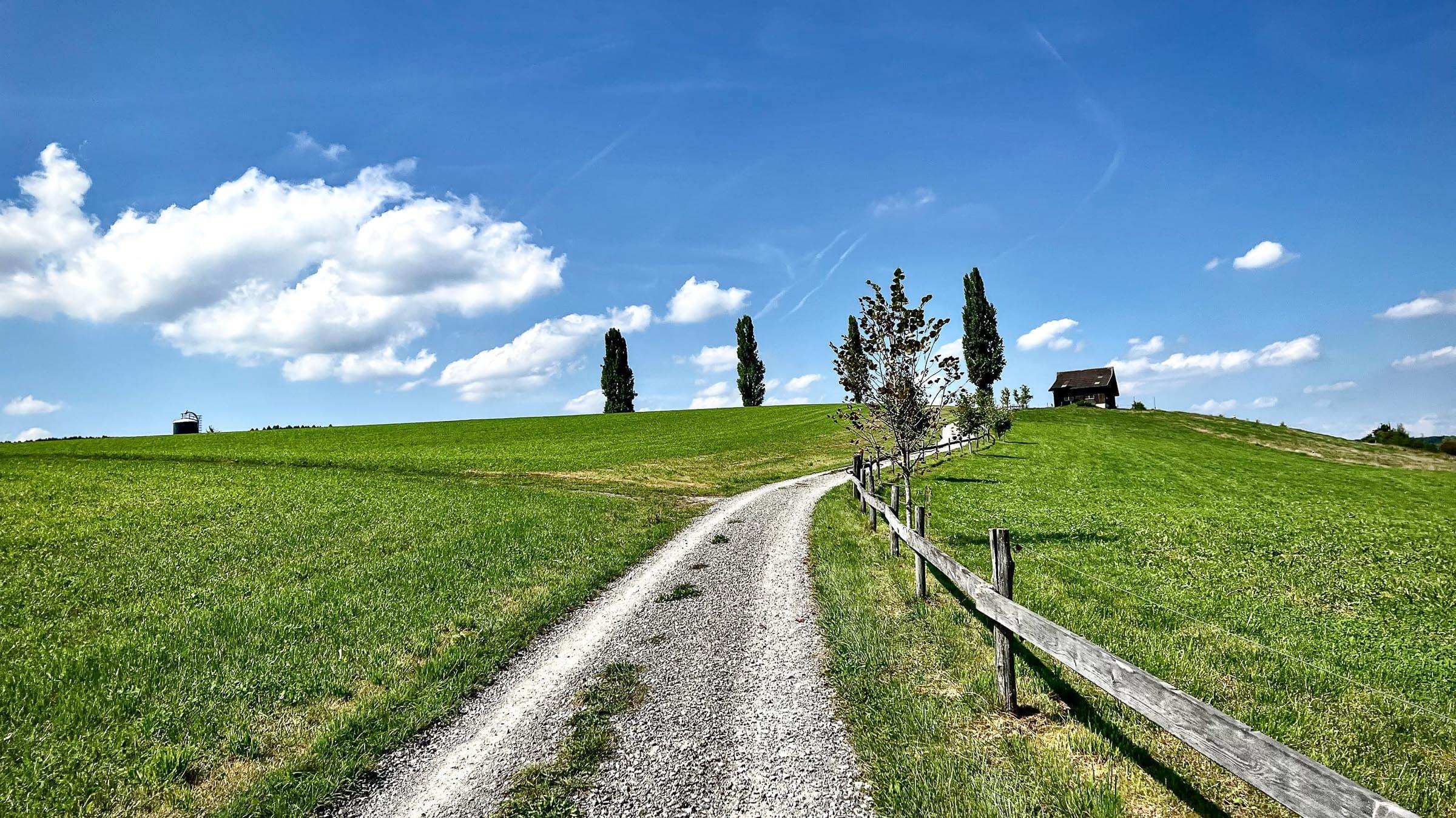
From here, the quiet backroads take us inside the forest and ride along the ridge before dropping on the other side. It is smooth and a flat-out ride down to Meierberg, followed by Sins, where we cross the Reuss again. Closing the route with a gentle descent from Sankt Wolfgang to the Zugersee.
| Distance | 34.4 km |
| Ascent | 678 m |
| Descent | 678 m |
| Max. Altitude | 791 m |
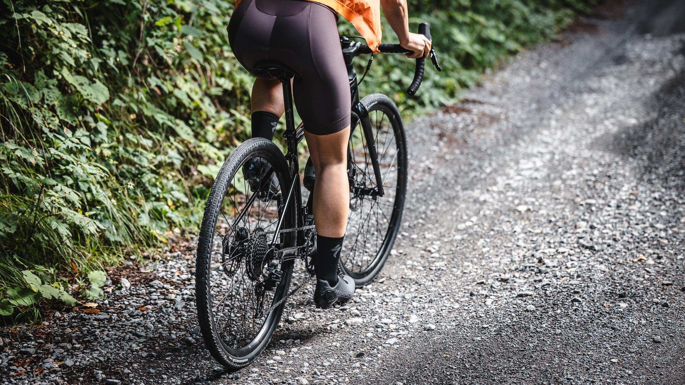
| Terrain | Gravel |
| Difficulty | Easy |
| Type | Loop |
| Category | Flat |
The route starts and ends at Villette park in Cham. The nearest parking lot is Parkhaus Lorze.
View on Google Maps