04. Baar - Sihlwald
- 30.6km
- 680m
- 5.0
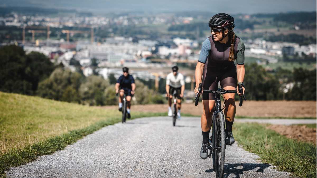
This route explores the Sihlwald from Sihlbrugg all the way to Langnau am Albis. Riding alongside the Sihl in the first part and exploring the Albis chain on the return way. Riding on super smooth and fast gravel roads. While it has some considerable elevation, this is a relatively easy route without challenging sections.
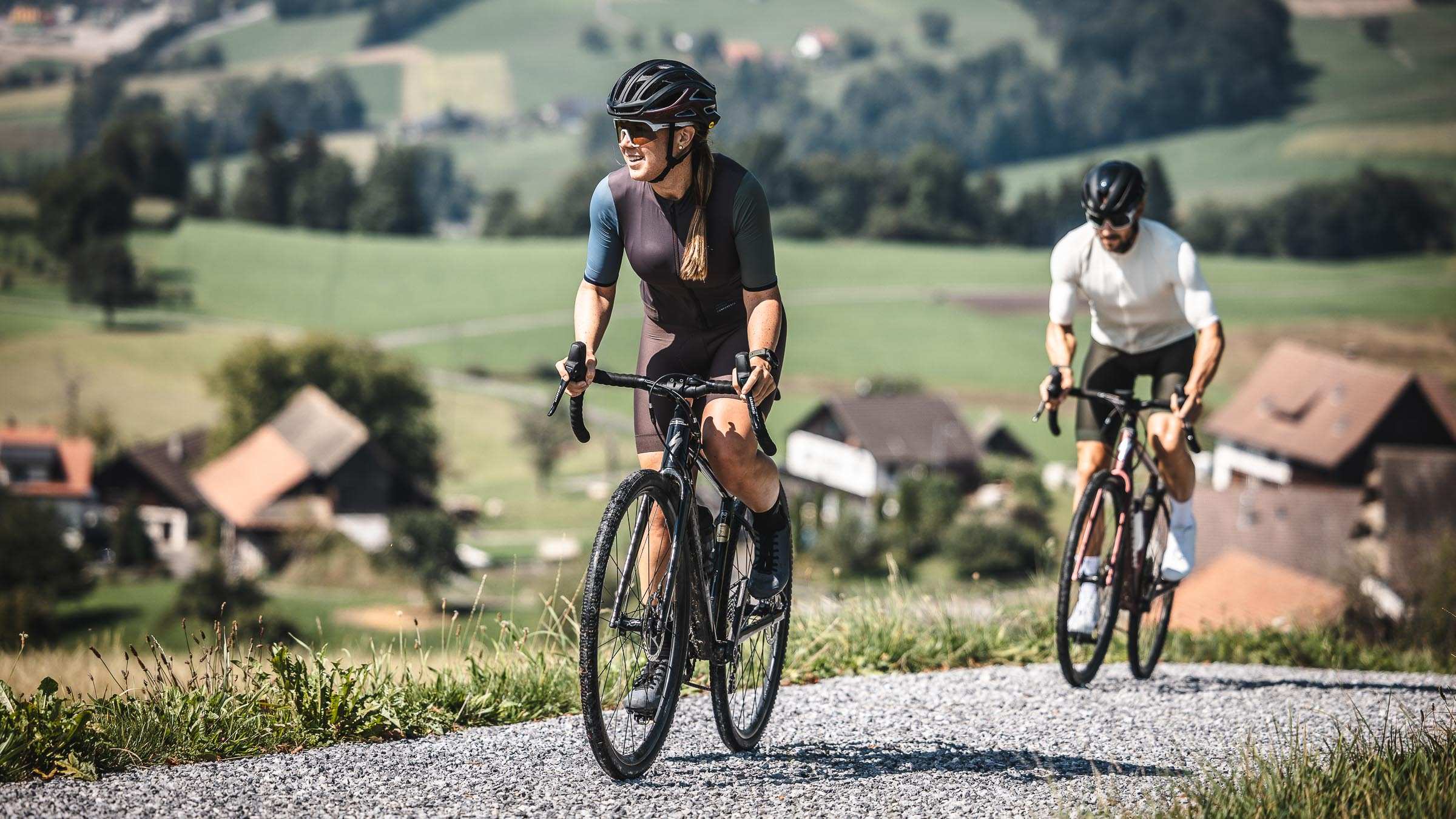
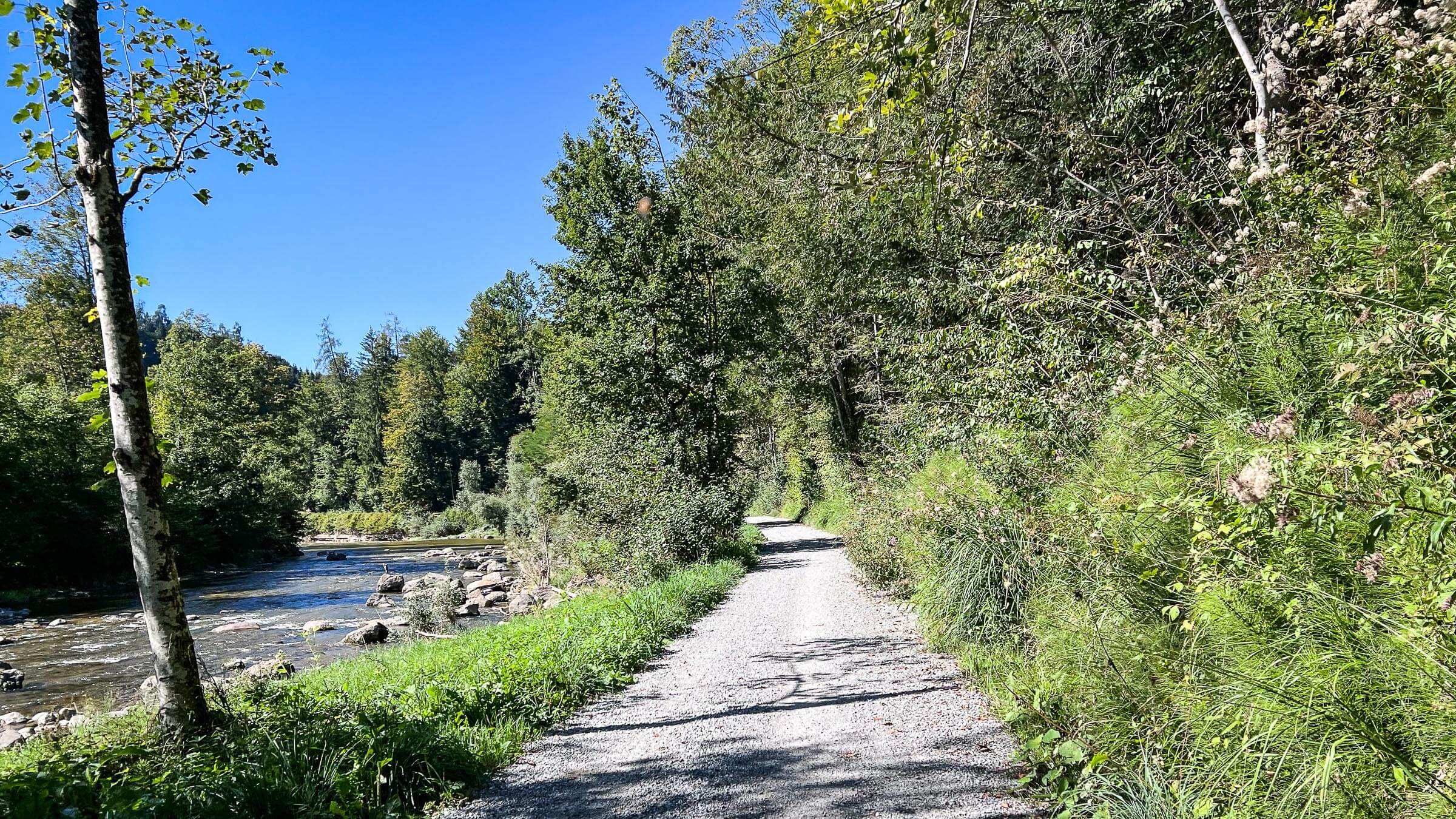
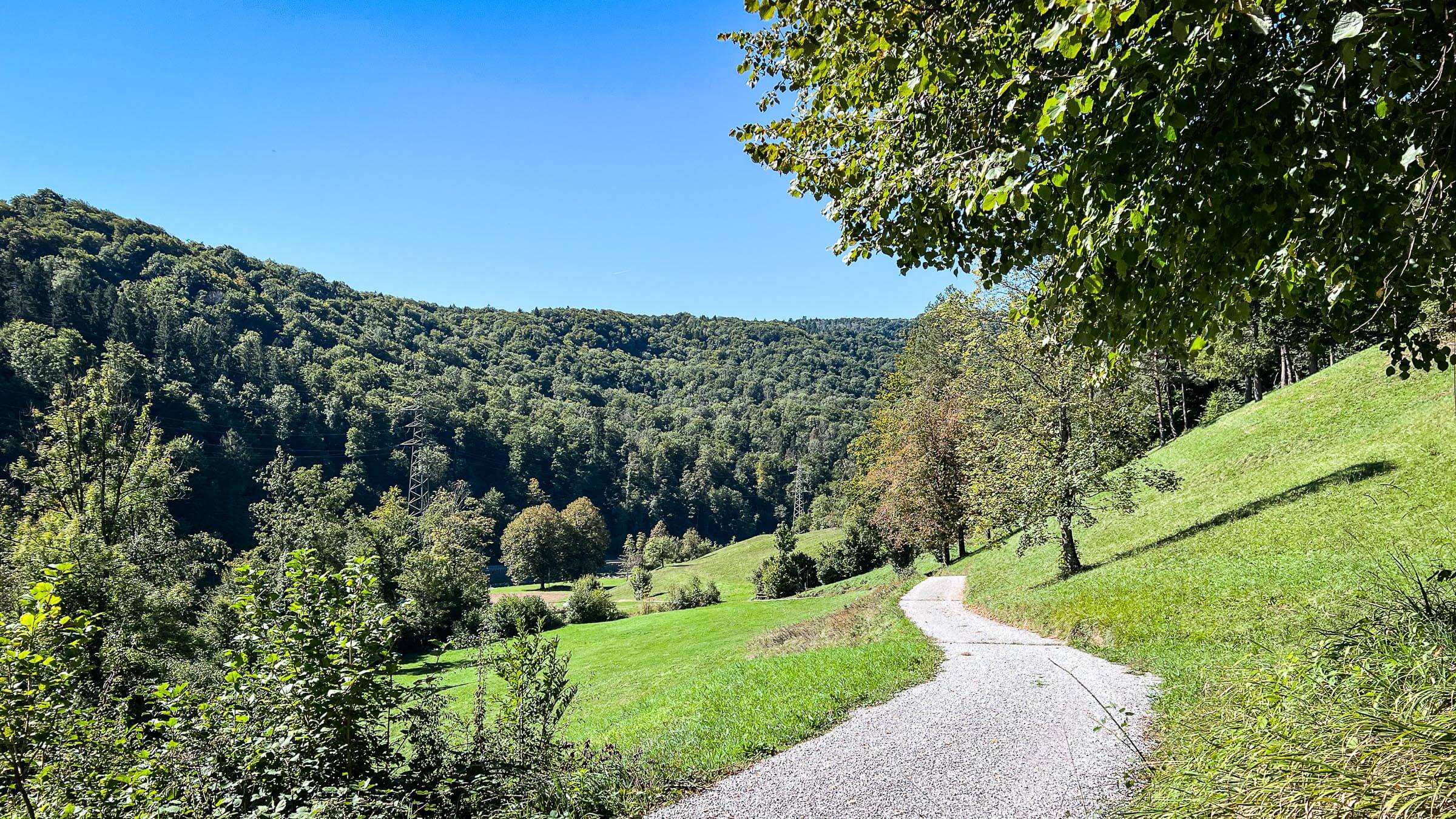
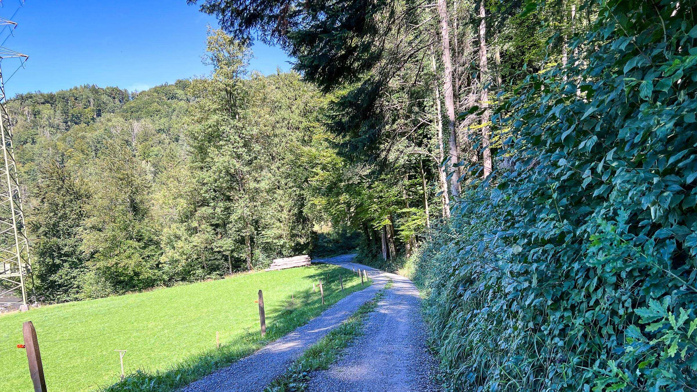
We start from Scutzenegel in Baar, riding alongside the side of Baarburg. Reaching Sihlbrugg on the main road and turning north towards Zurich after crossing the Sihl. There awaits us a short but very steep climb on asphalt. With a left turn, we enter the gravel road following the Sihl towards North. We then follow this road through open fields going up and down until Langnau am Albis.
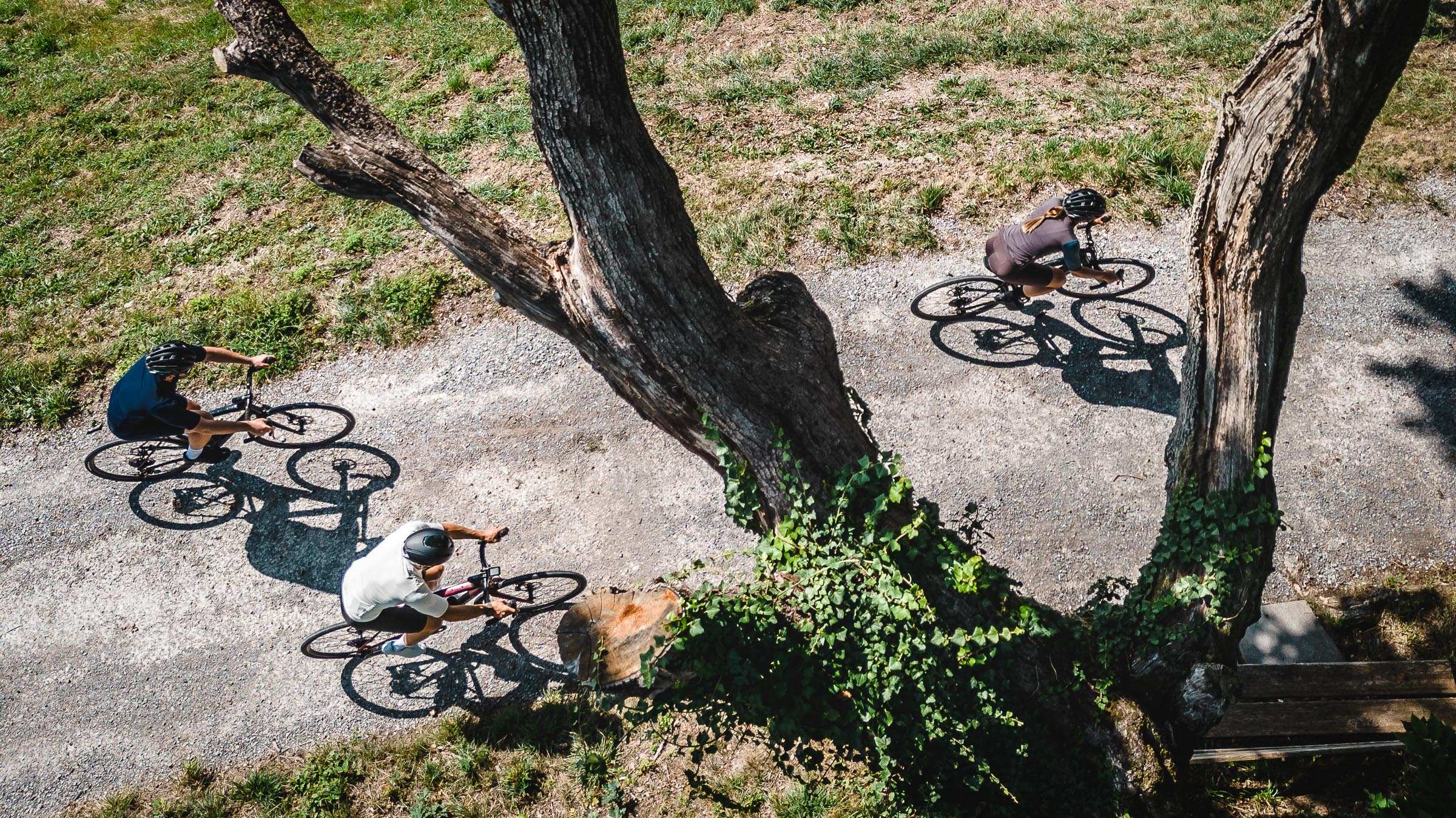
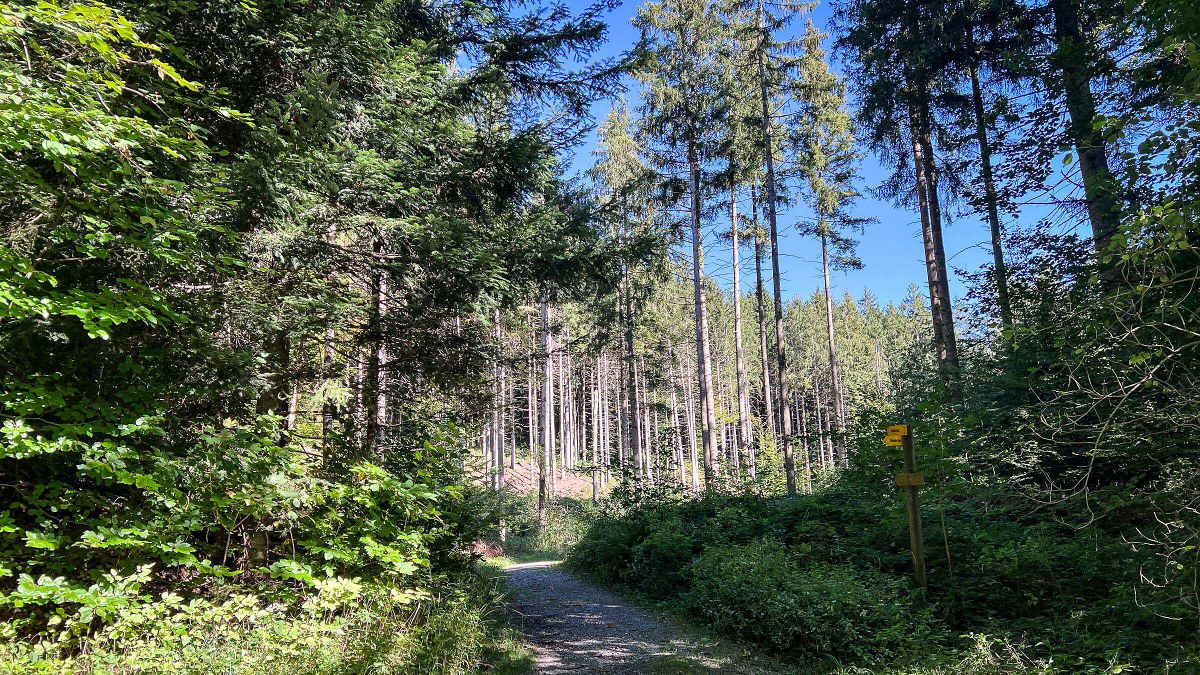
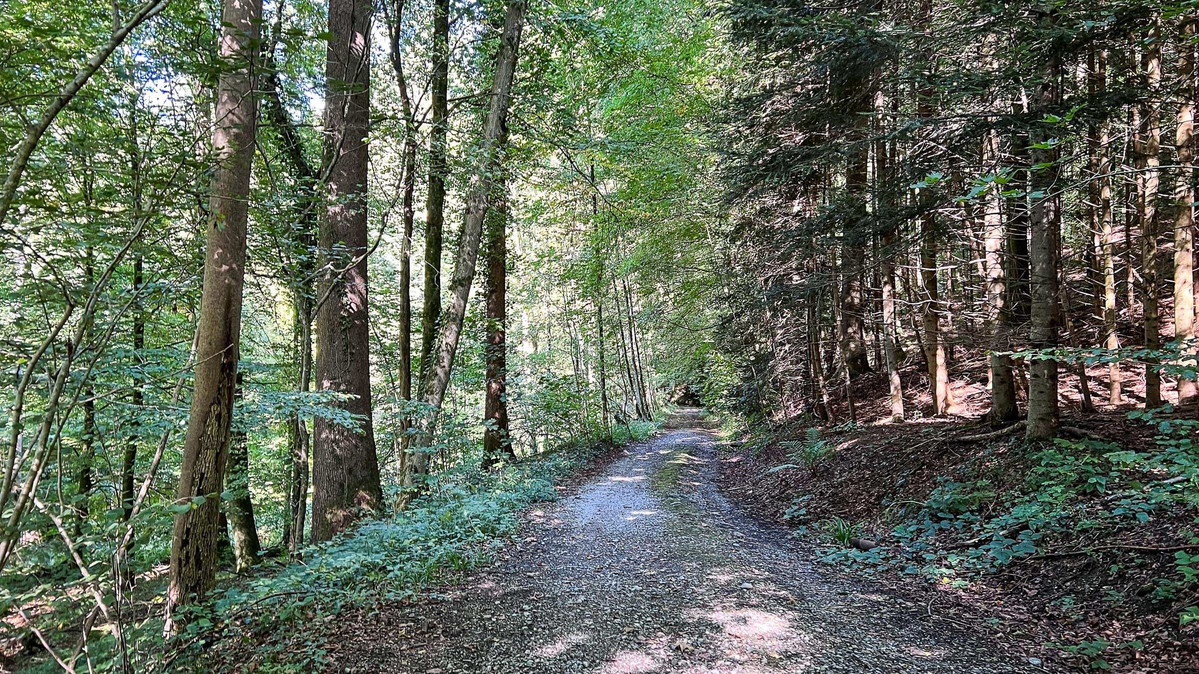
With a switchback at Langnau am Albis, we turn back towards the south and climb inside the forest. The second part goes inside the dense forest, crossing a couple of springs on the way. Once we gain 200m elevations, we continue on the side of the hill without significant altitude change.
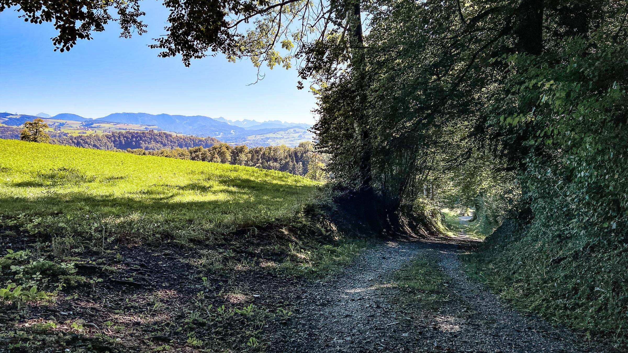
There is a real variety of the type of roads here, wide gravel roads, narrow paths and rocky single-trails interchanging. This is what you might call Gravel heaven, fast rolling with exciting twists and turns.
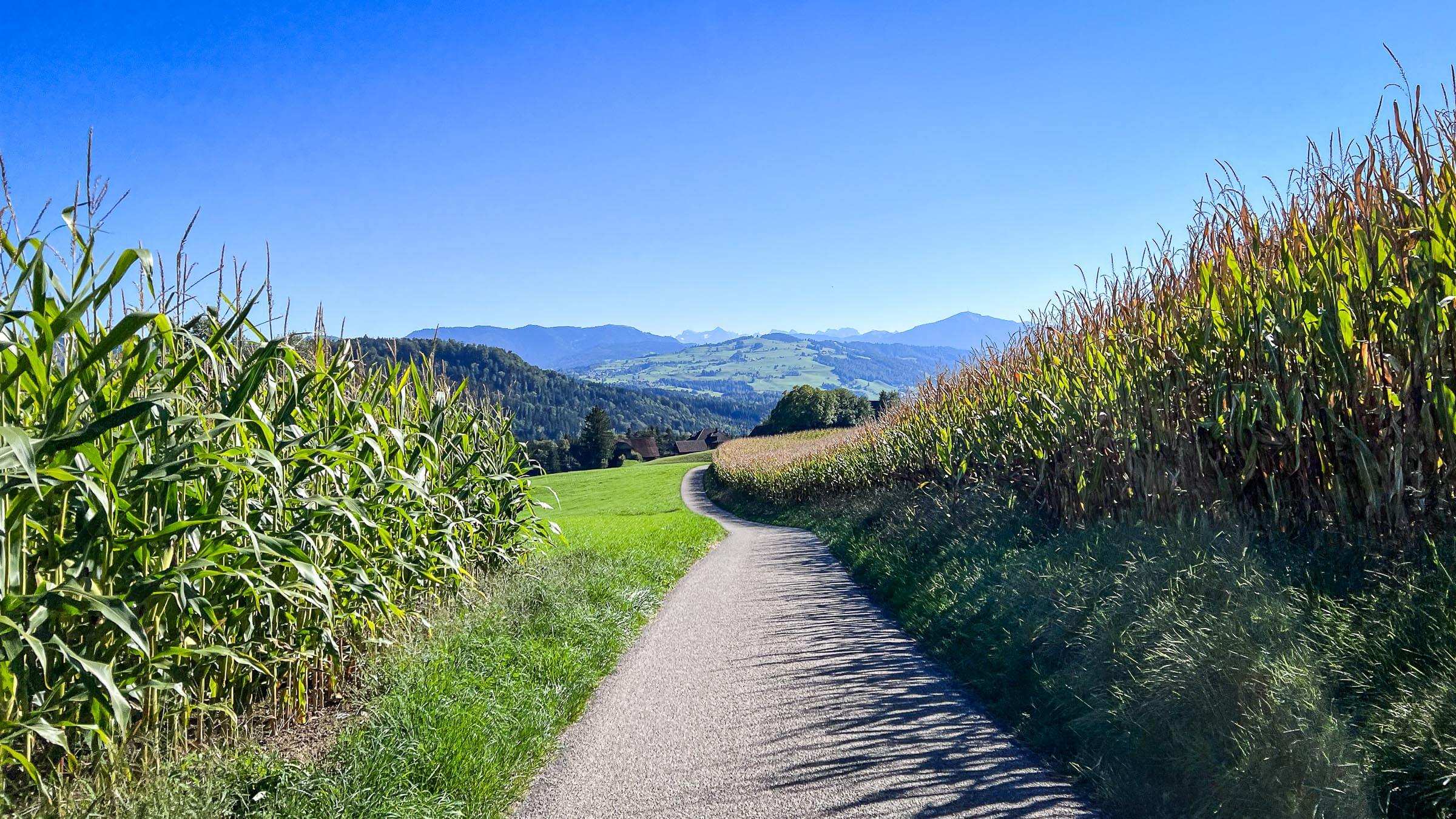
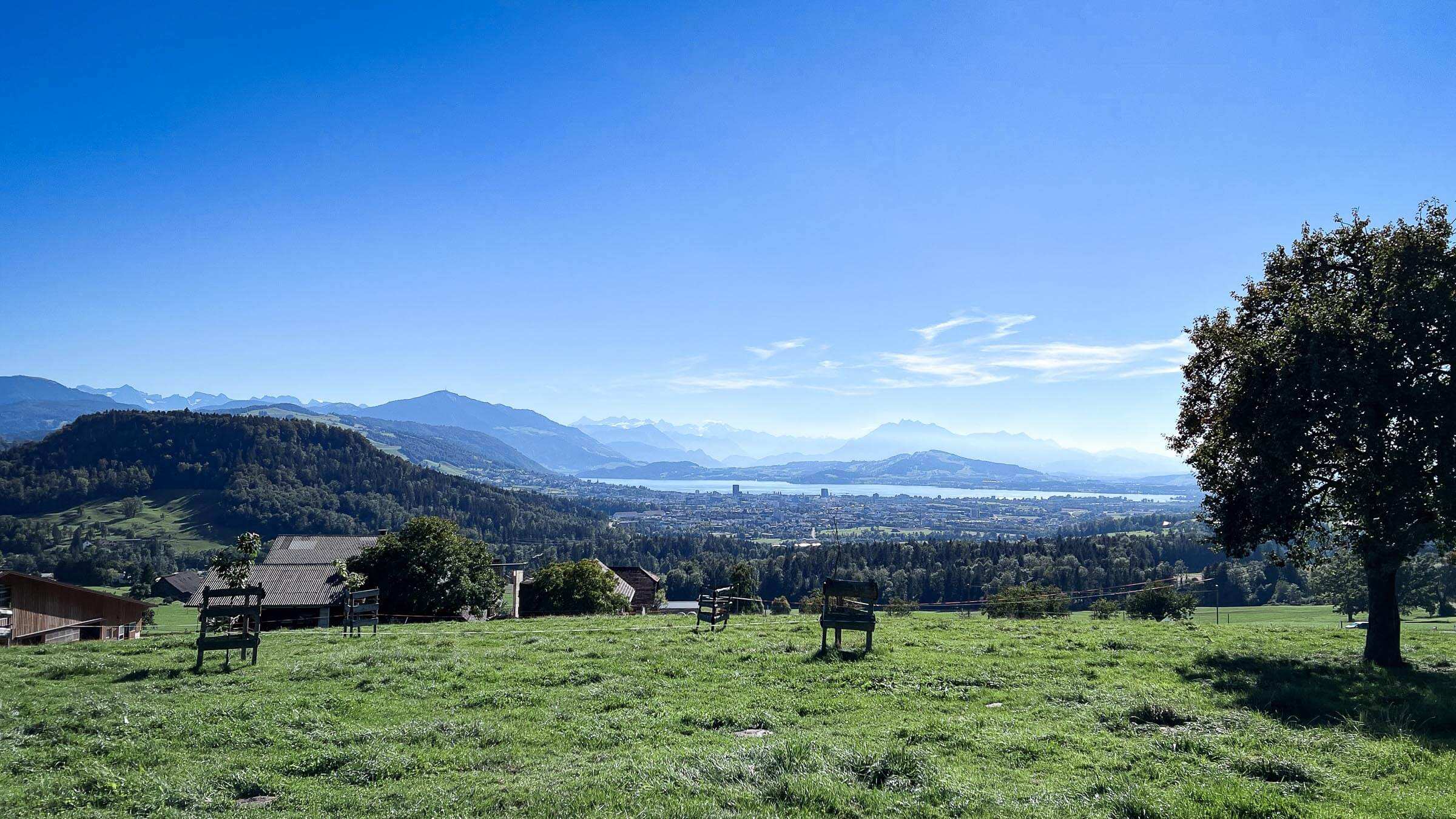
With a short climb at the end, we cross the ridge and continue on the other side of the mountain, starting with a steep drop. Shortly the vistas open up, and we can marvel at the view of Zugersee; this place offers probably the best views of the region.
We descend toward Baar as we cross the motorway underneath, riding within the forest. The route finishes alongside the Lorze.
Note: This route goes an extensive section on shared paths; please be extra cautious about the hikers on this route. Especially on weekends, it can get very busy.
| Distance | 30.6 km |
| Ascent | 680 m |
| Descent | 680 m |
| Max. Altitude | 761 m |
| Terrain | Gravel |
| Difficulty | Easy |
| Type | Loop |
| Category | Easy |
The route starts and ends in Baar Langgasse. Public parking is available at Haldenstrasse.
View on Google MapsThis route goes an extensive section on shared paths; please be extra cautious about the hikers on this route. Especially on weekends, it can get very busy.